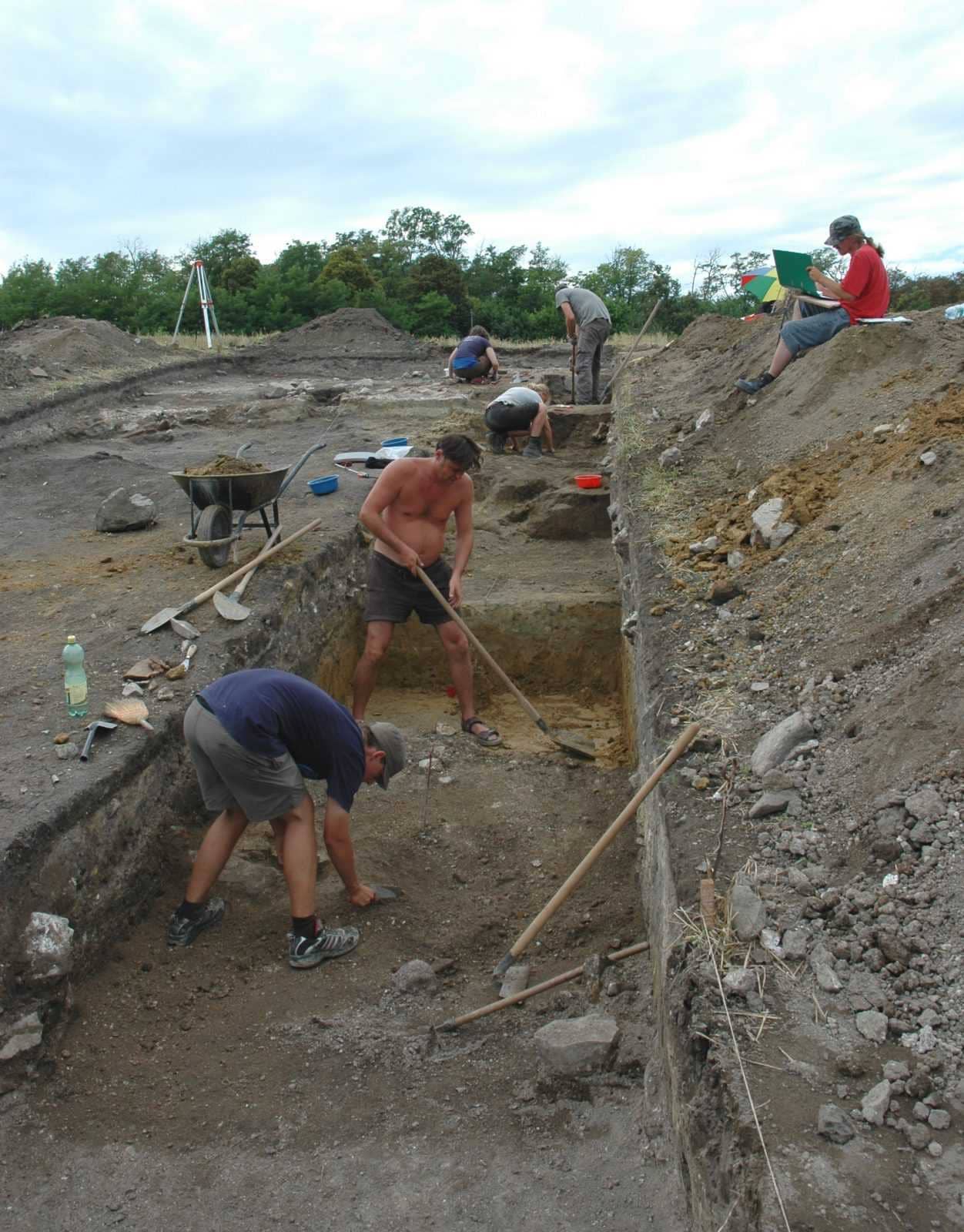
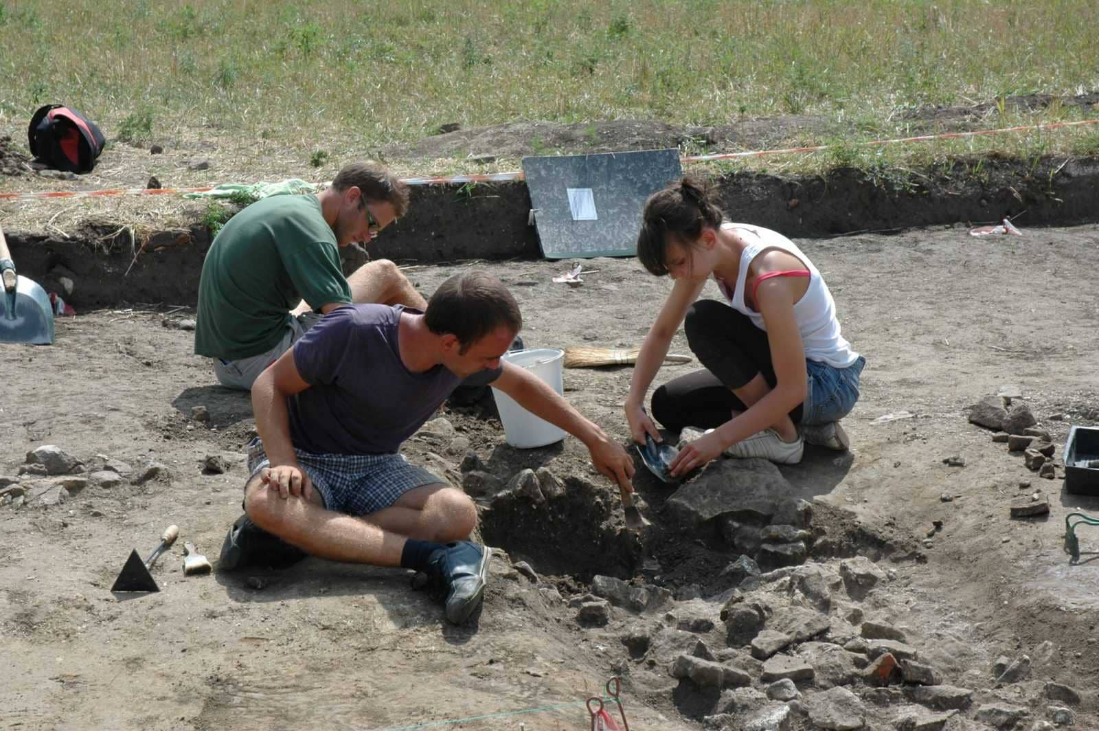
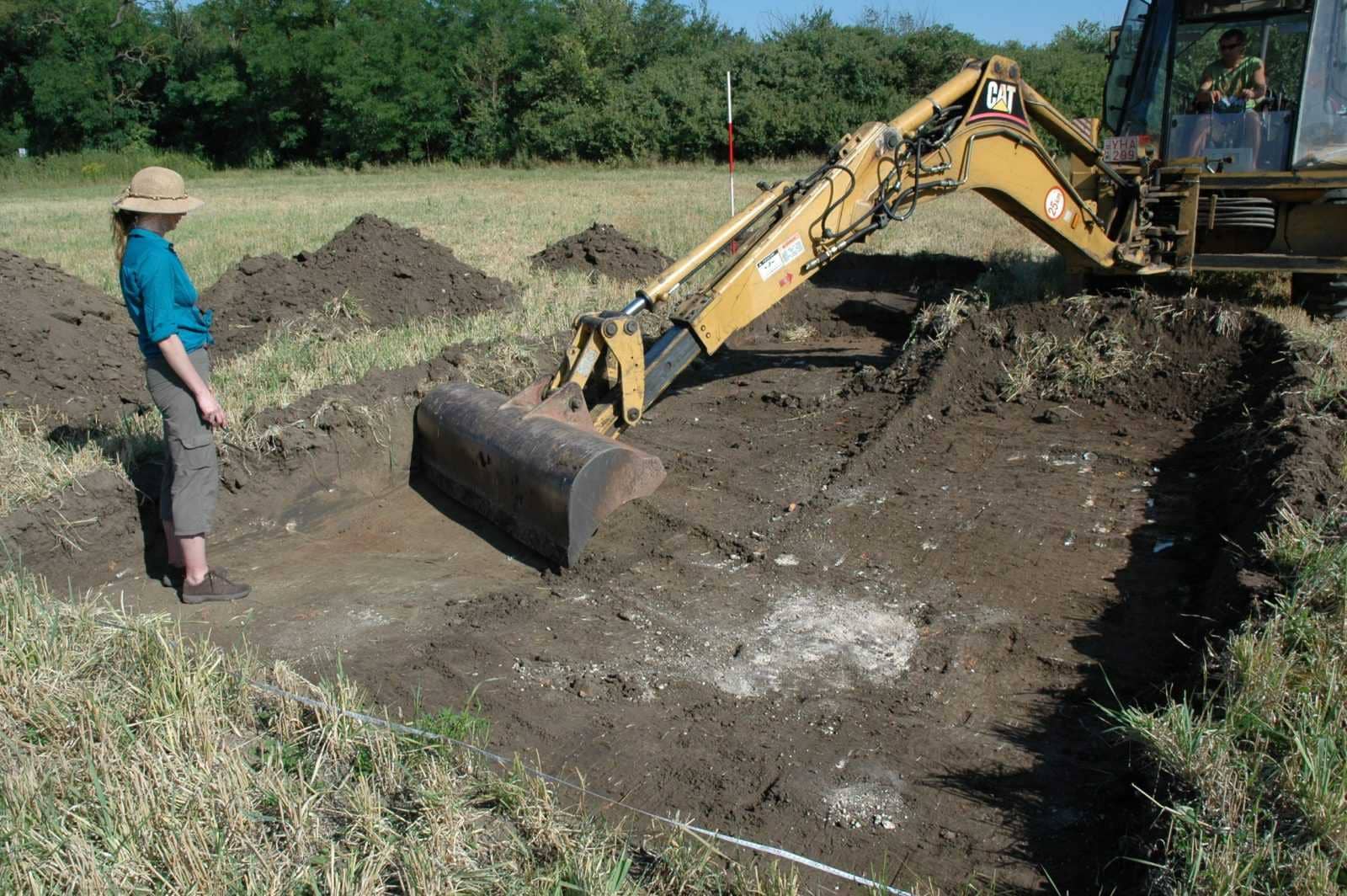
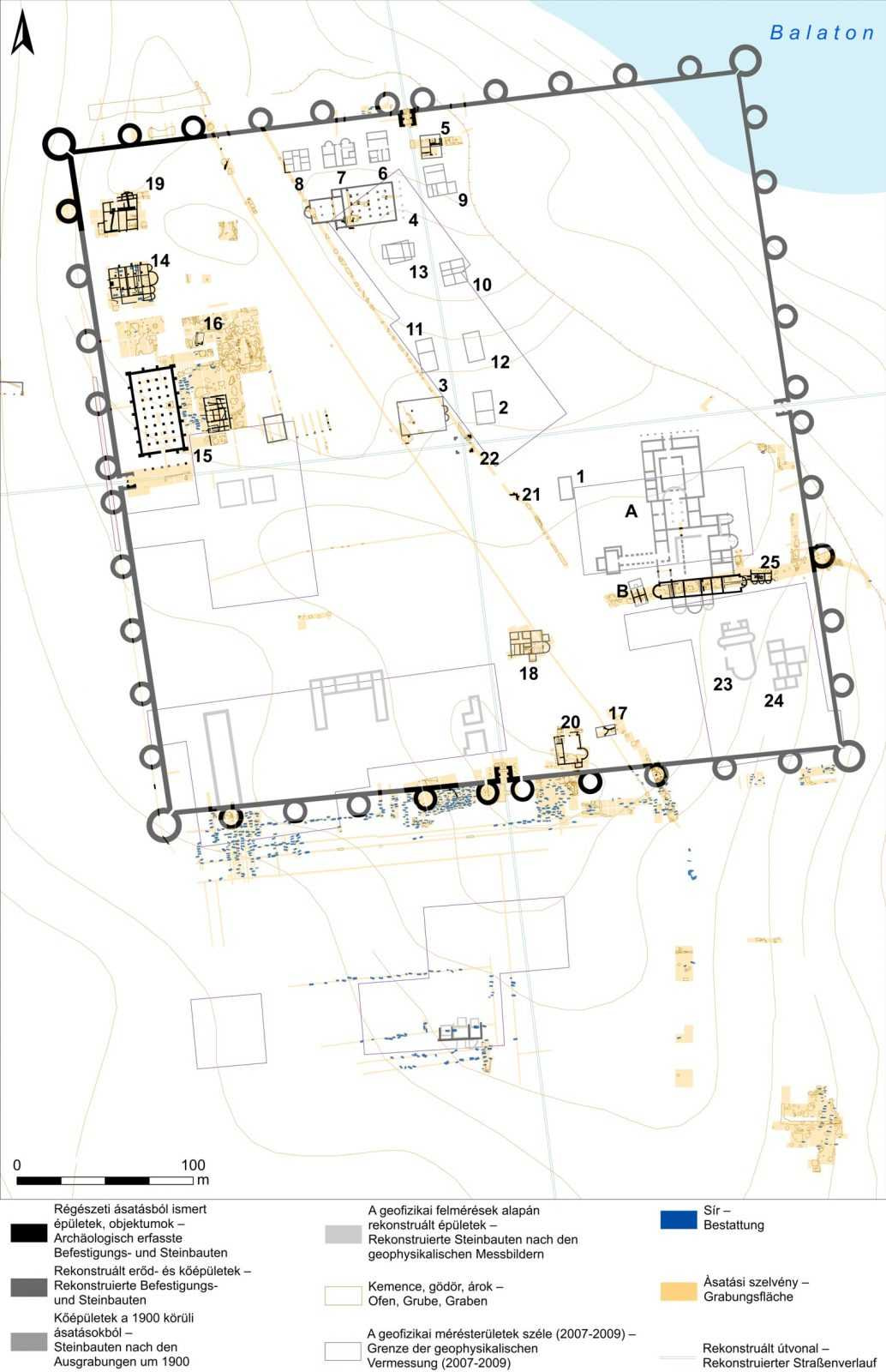
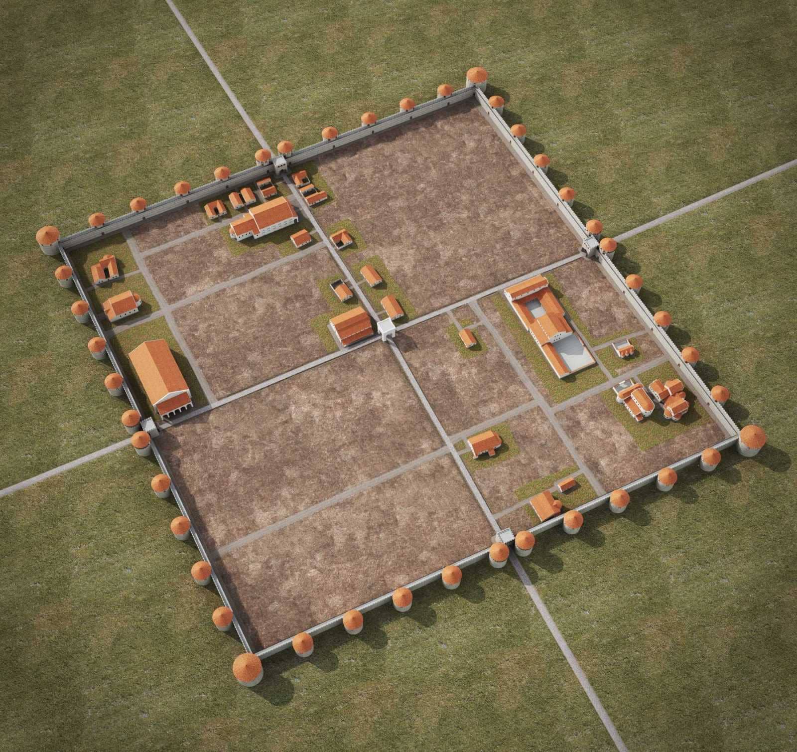
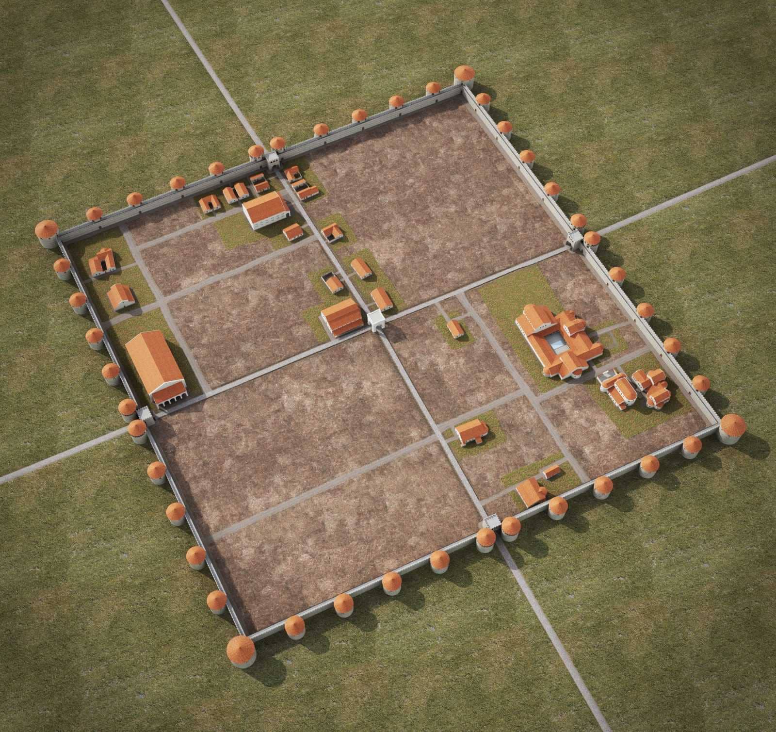
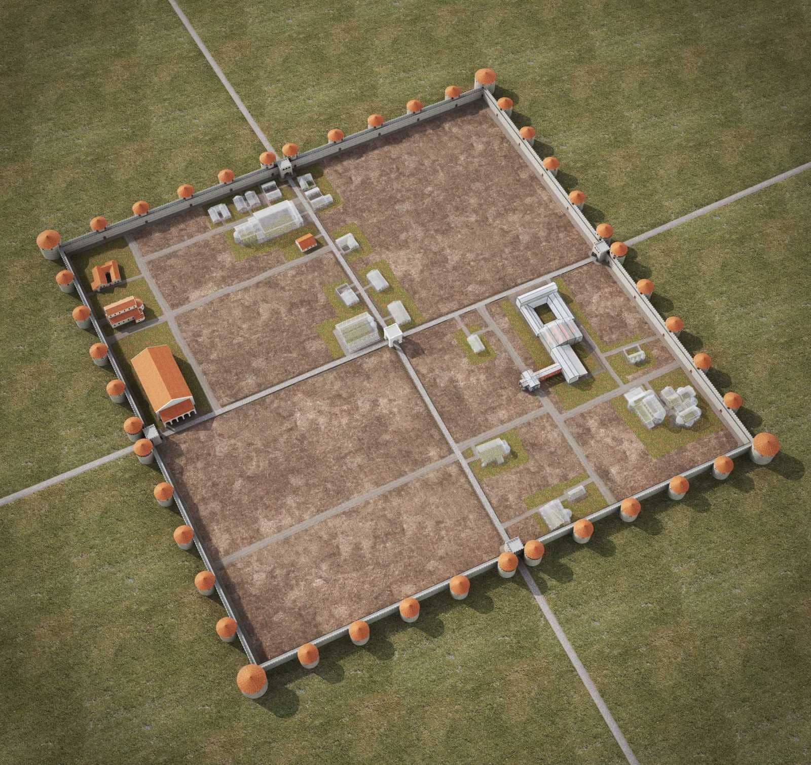
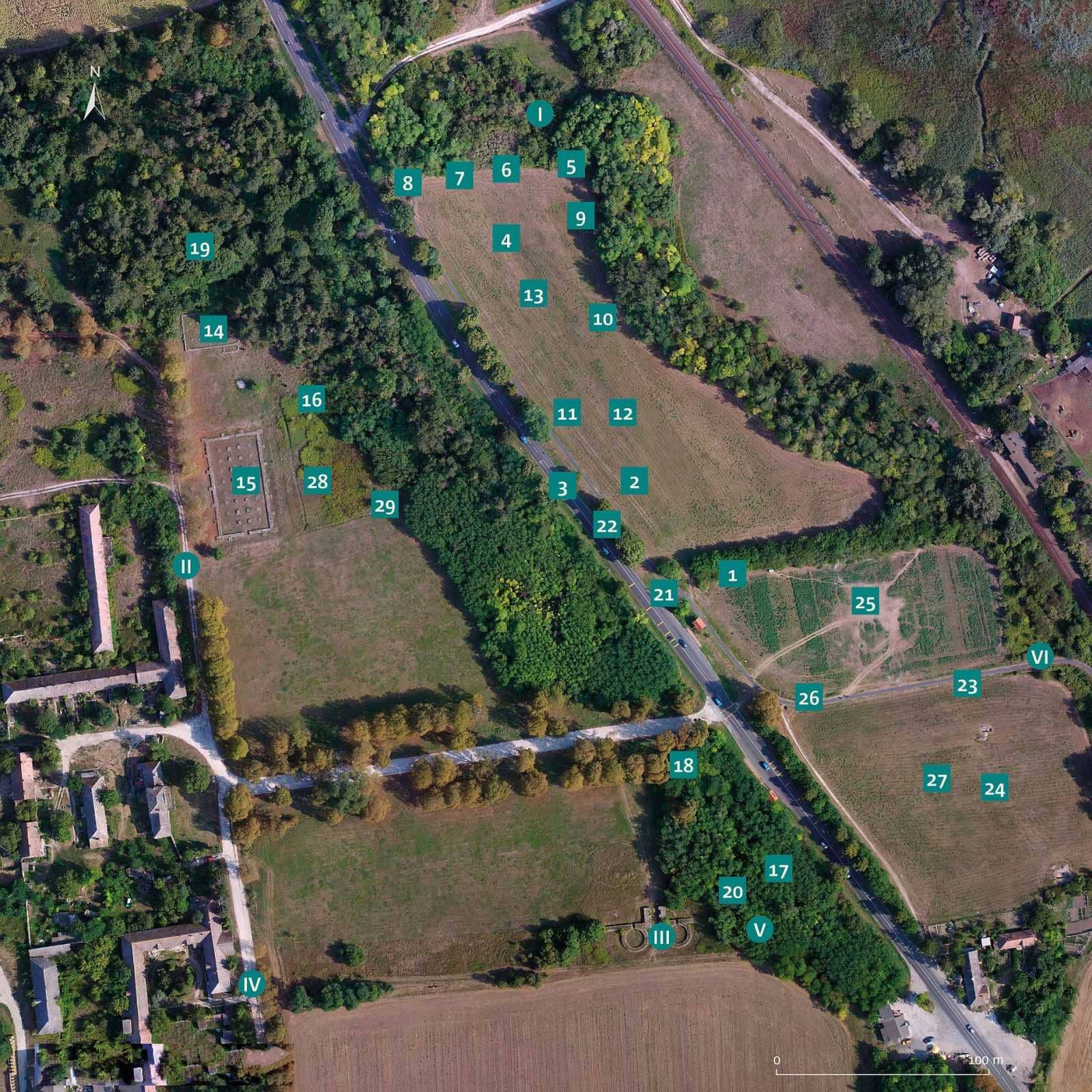
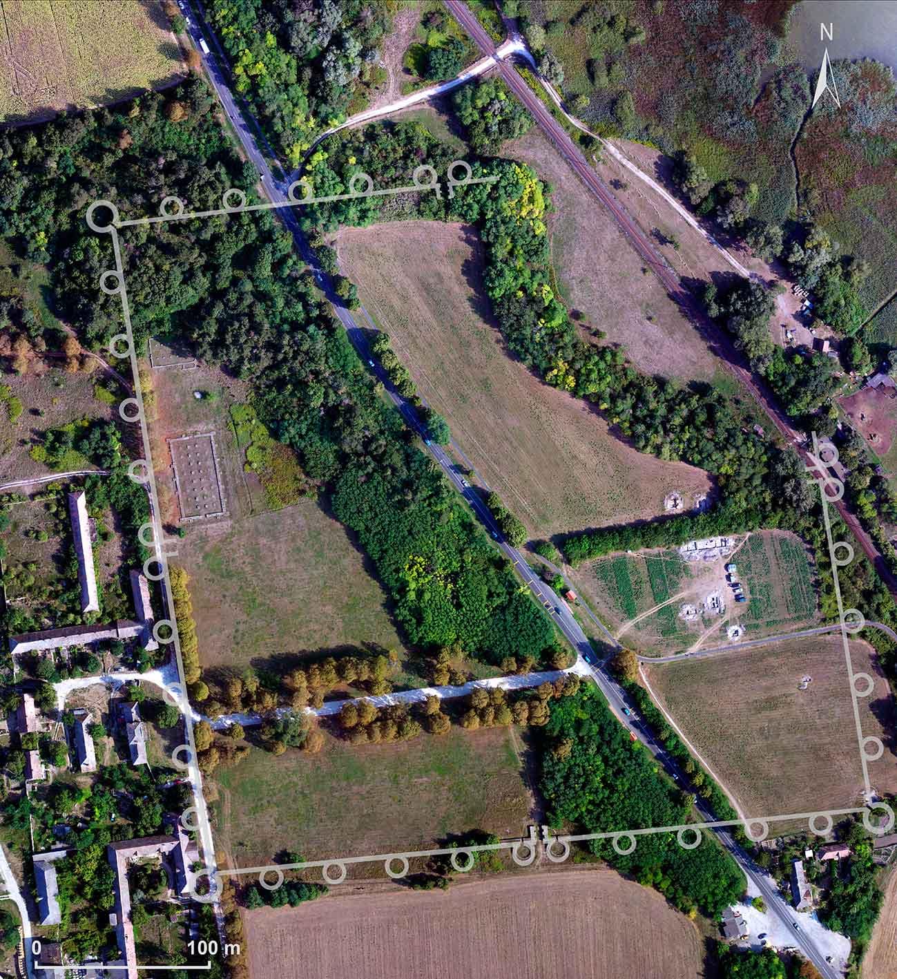
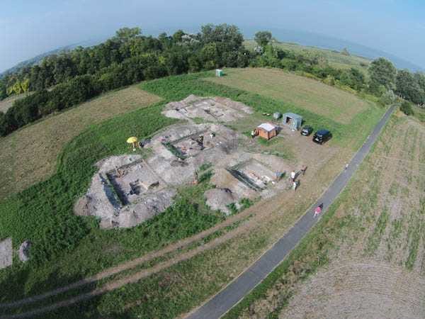
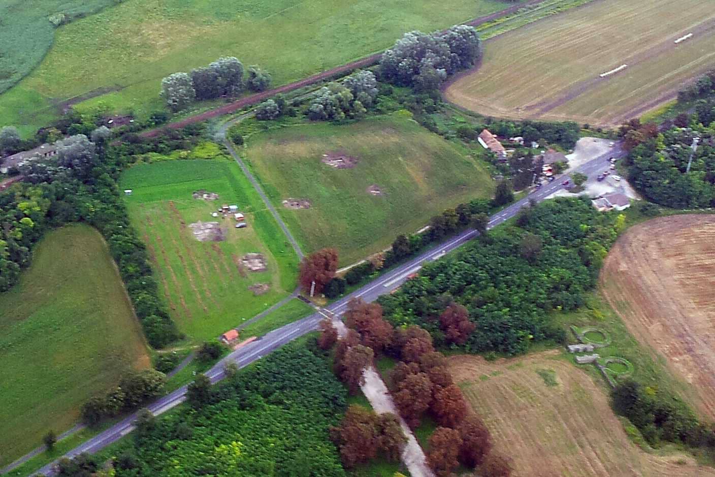
Map and plan of the Roman fortress
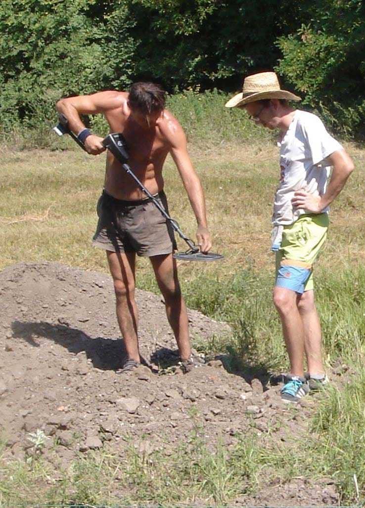
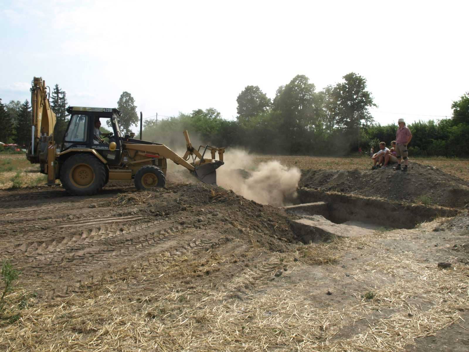
In the framework of a Hungarian-German research program starting in 2006, we conducted several preliminary geophysical surveys in the target area. The purpose of these was primarily to clarify the location of earlier excavations and to define the line of the walls and the floor plan of the buildings.
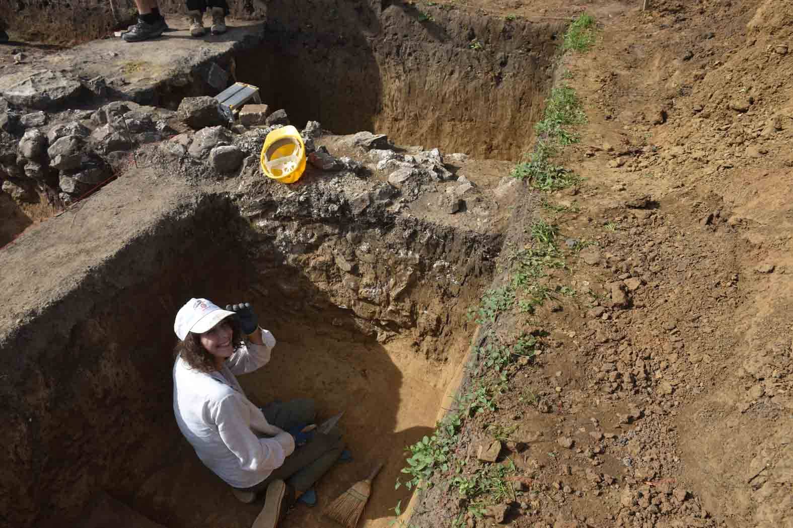
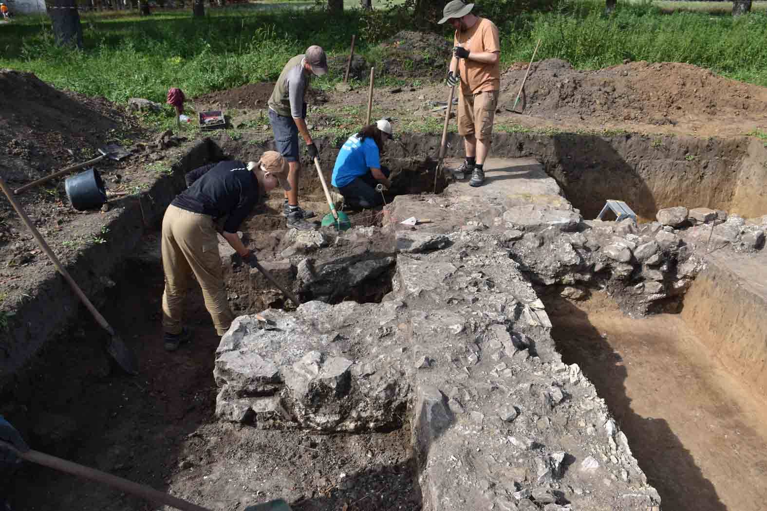
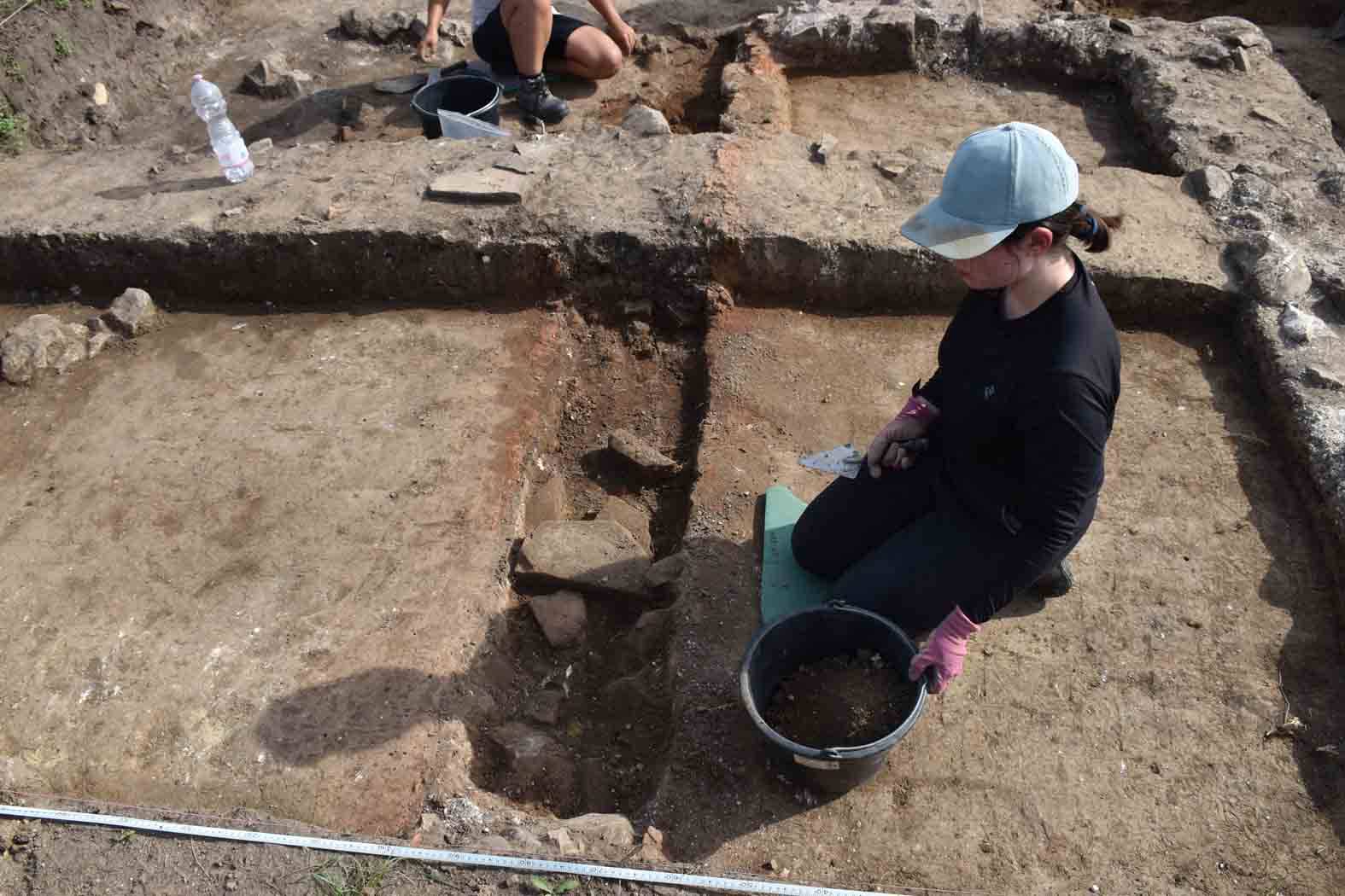
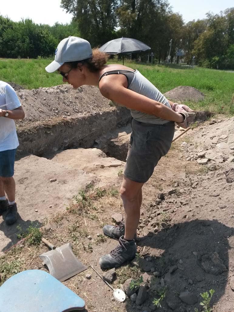
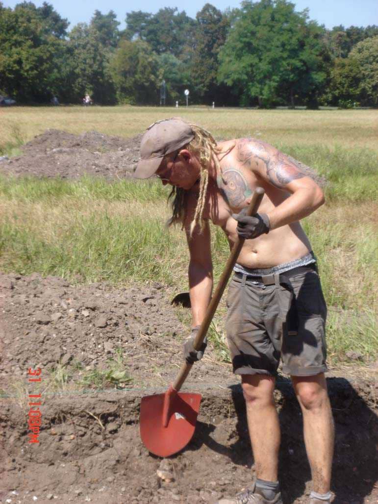
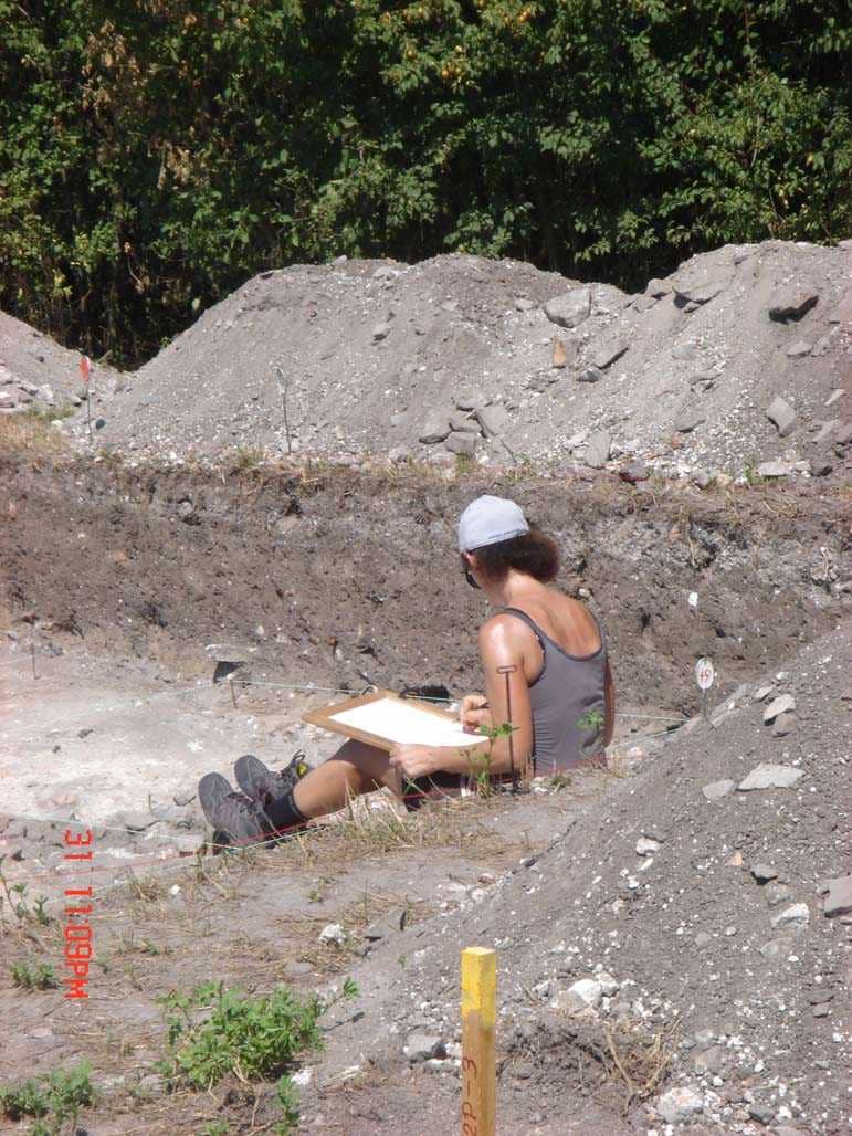
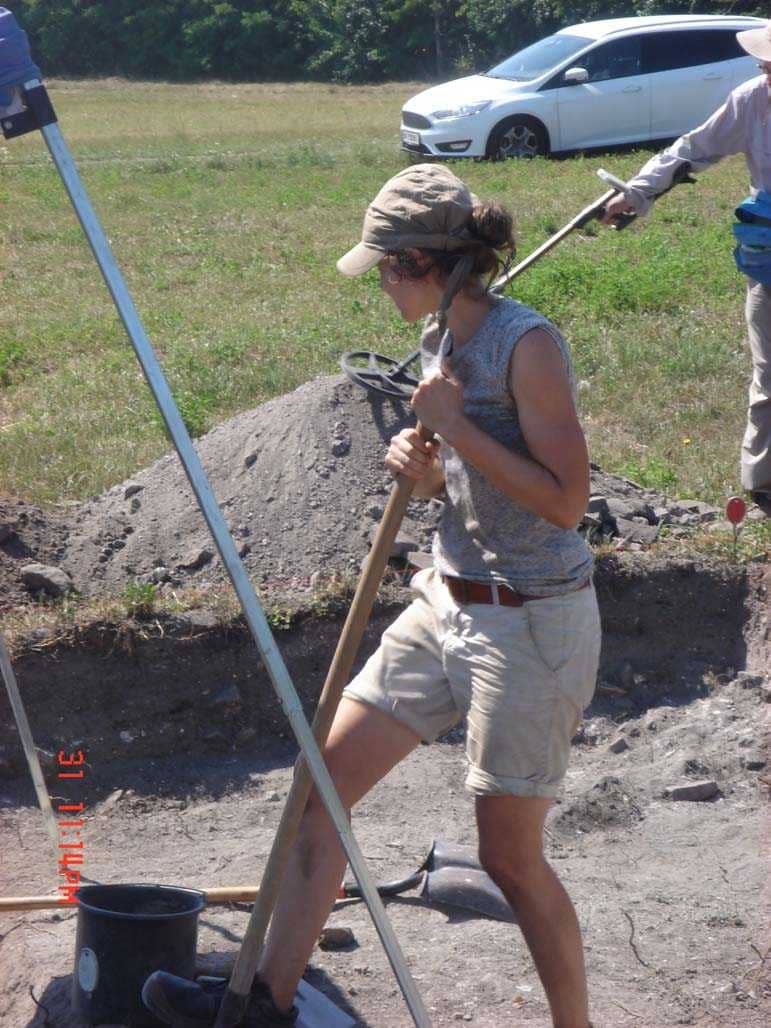
News from the excavations

Kanizsa Hetilap
After the surrender of Pannonia, the Romans survived in Fenékpuszta?
TV Keszthely
In the wake of the past. Get insights into the work of archaeologists and the secrets of an excavation
WeLoveBalaton
They use the drone and magnetometer to find the traces of the Romans in Fenékpuszta
Magyar Idők
Bad groundplan – THREE DIMENSIONAL TOUR at the ruins of the Roman Castrum?
Keszthely TV 2020
Archaeologists have found Roman residential buildings in Fenékpuszta

Kossuth Rádió 2020
Beszámoló az ásatásról Fenékpusztán
Magyar Múzeumok
Fenékpuszta -125 years of excavations Interview with Bálint Havasi
Zala Média
Excavations in Fenékpuszta in a new light
Video news from the excavations – Keszthely TV
2009 Keszthely TV
2011 Keszthely TV
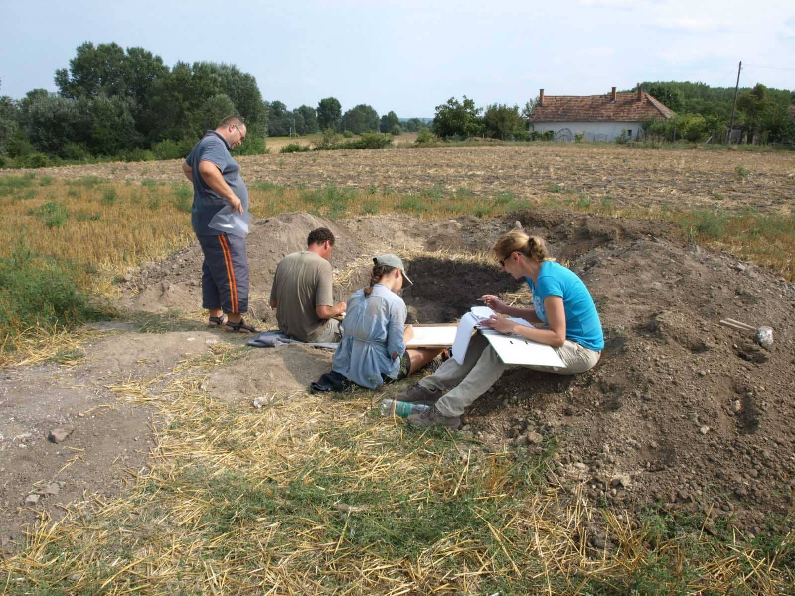
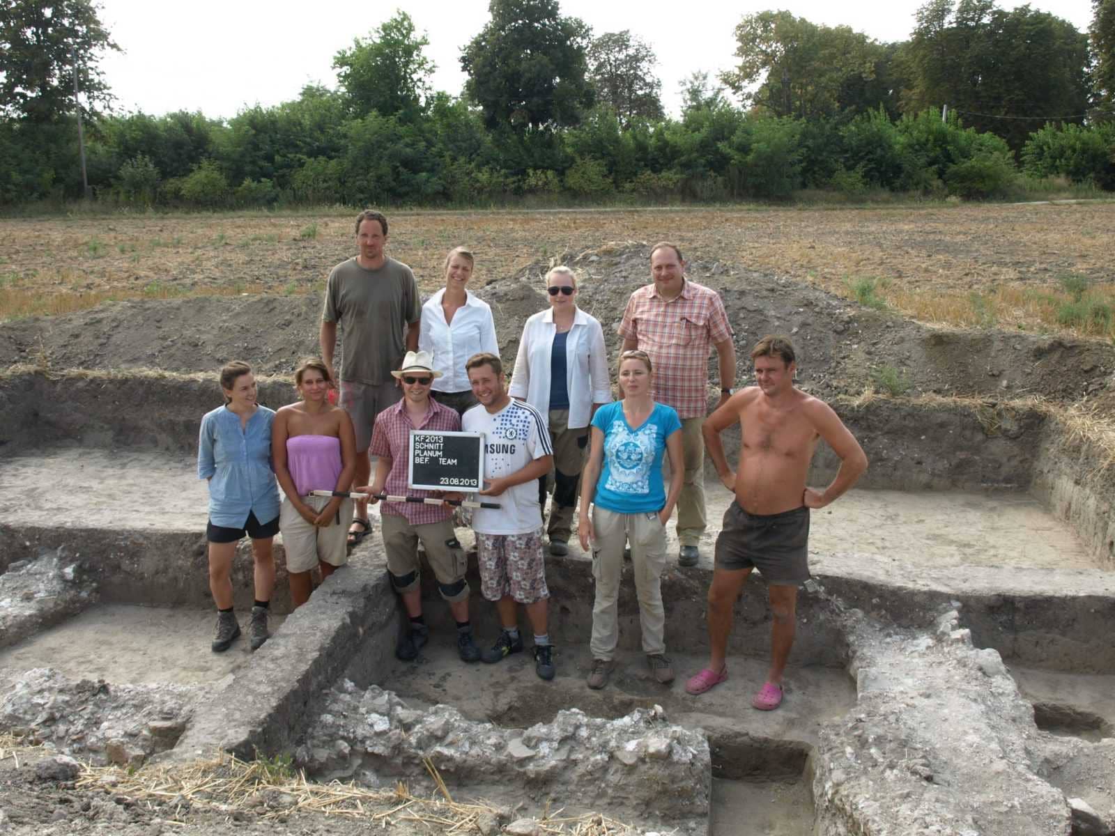
2013 Keszthely TV
2014 Keszthely TV
2015 Keszthely TV
2017 Keszthely TV
2020 Keszthely TV
Introductory film about the excavations
Hungarian-German archaeological researches in Keszthely-Fenékpuszta
From 2009 to 2017
Excavation reports
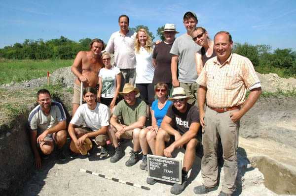
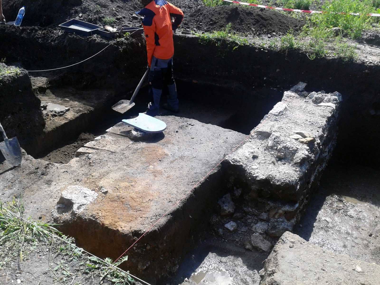
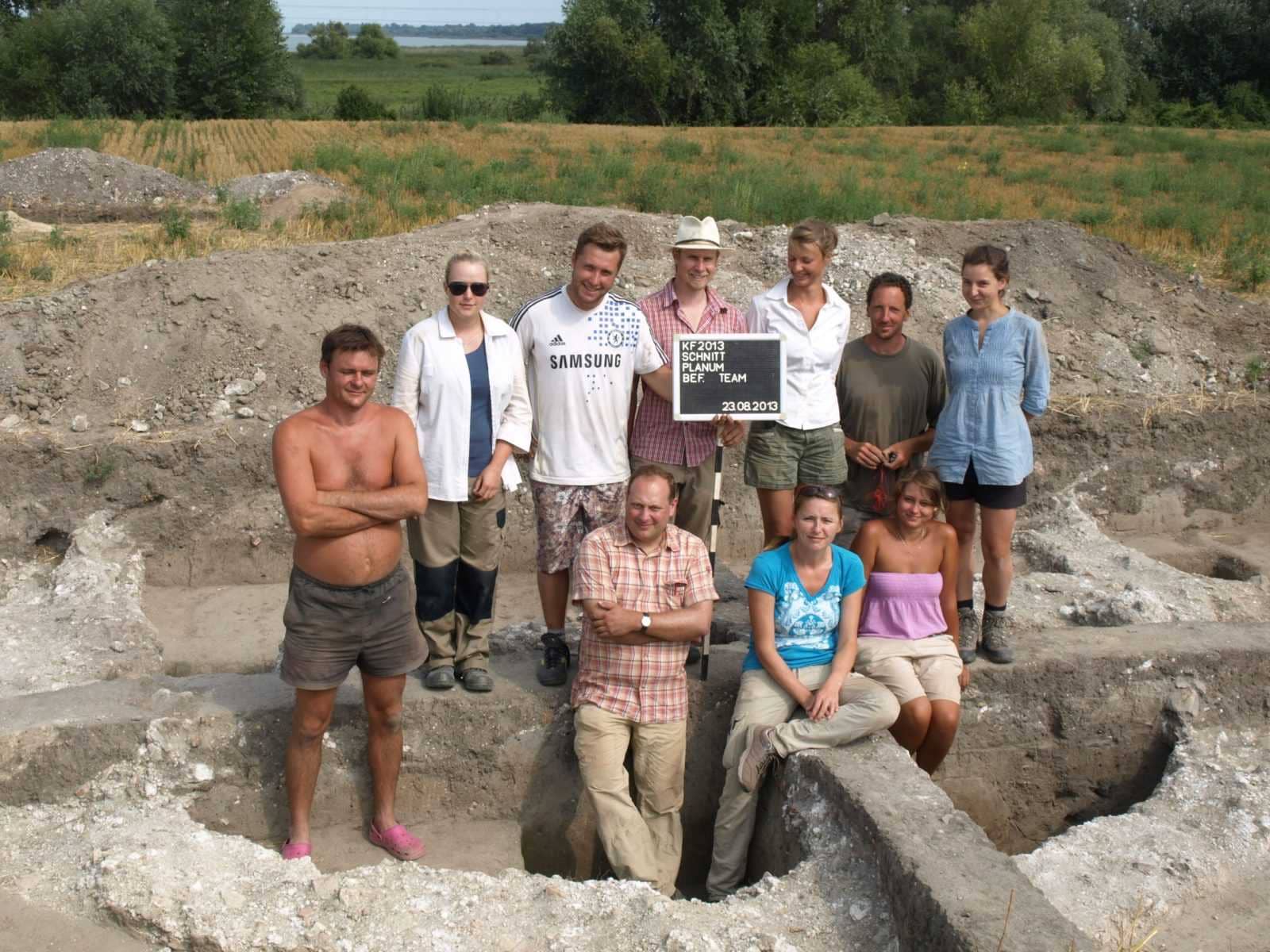
Ásatás 2020. 08. 06. – 2020. 08. 28.
Ásatásvezetők: Havasi Bálint (BM), dr. Heinrich-Tamáska Orsolya (GWZO)
Az ásatás költségeit fedezte: Nemzeti Kulturális Alap, GWZO Lipcse, Balatoni Múzeum
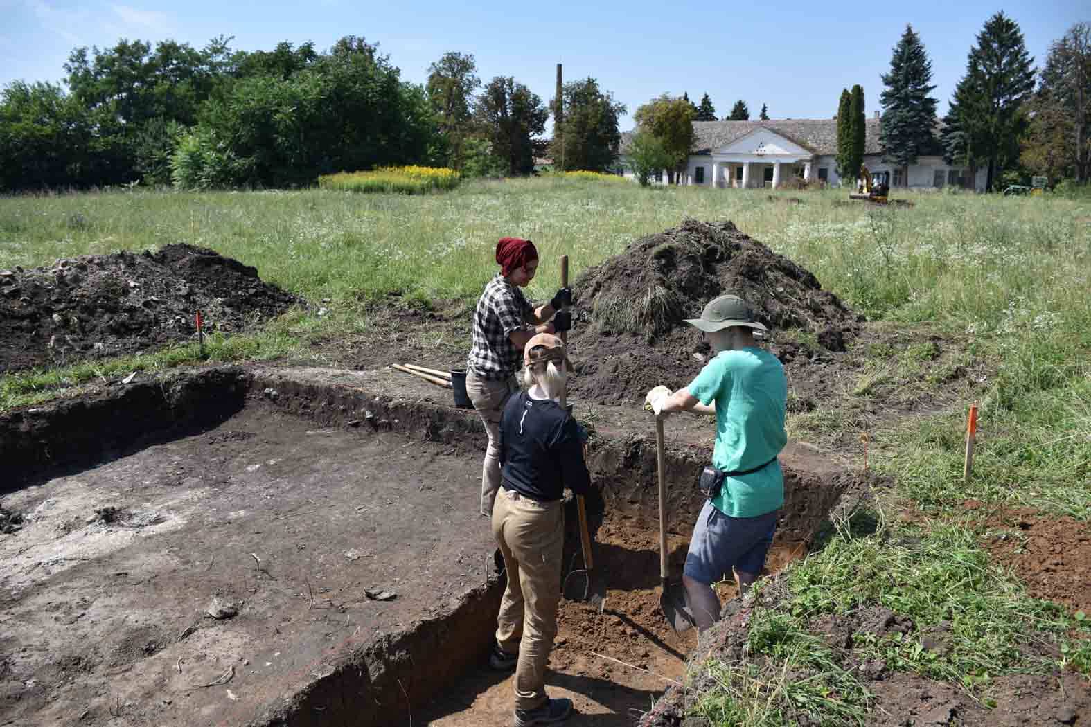
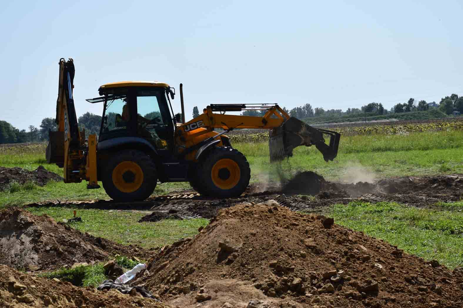
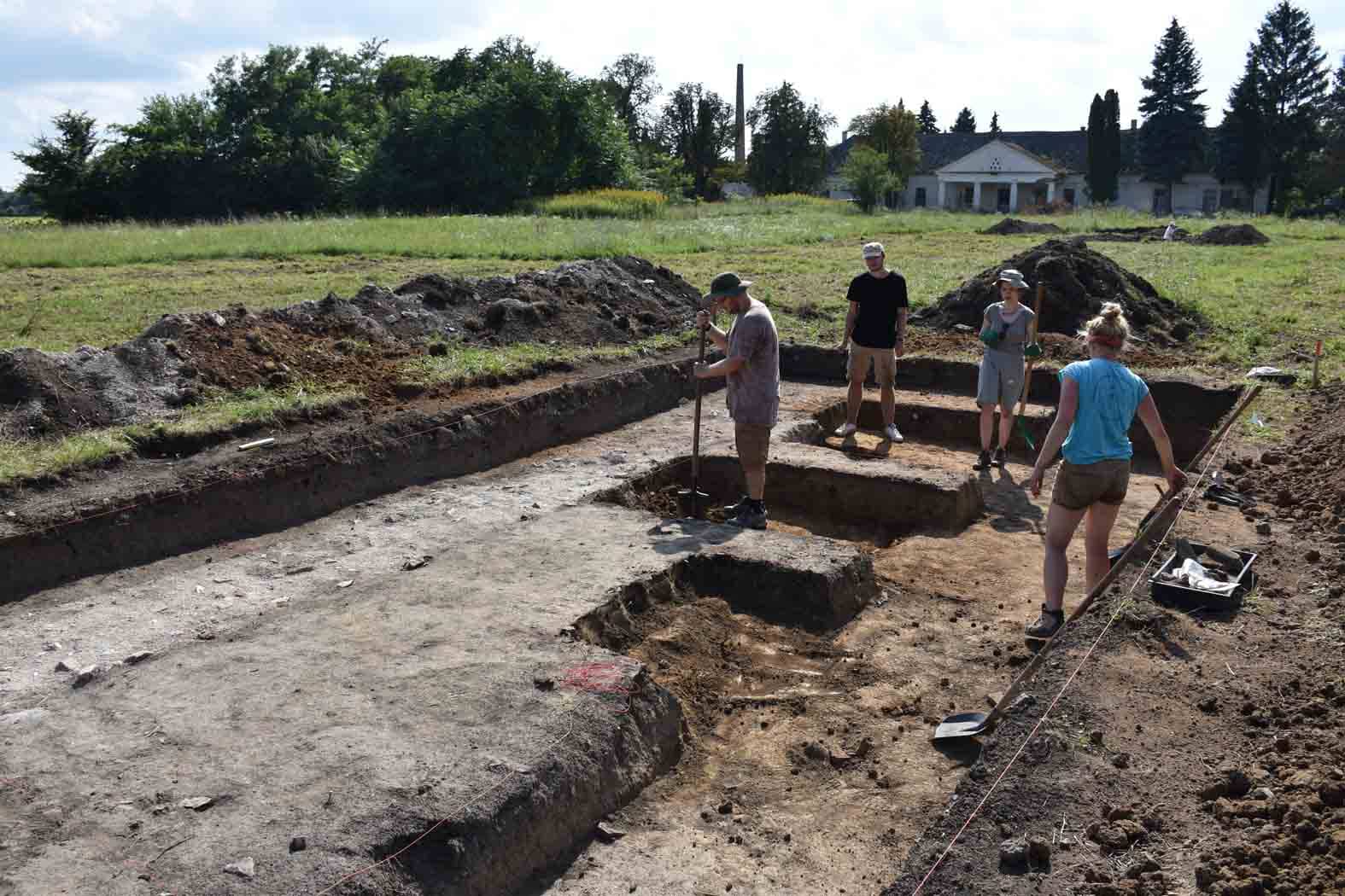
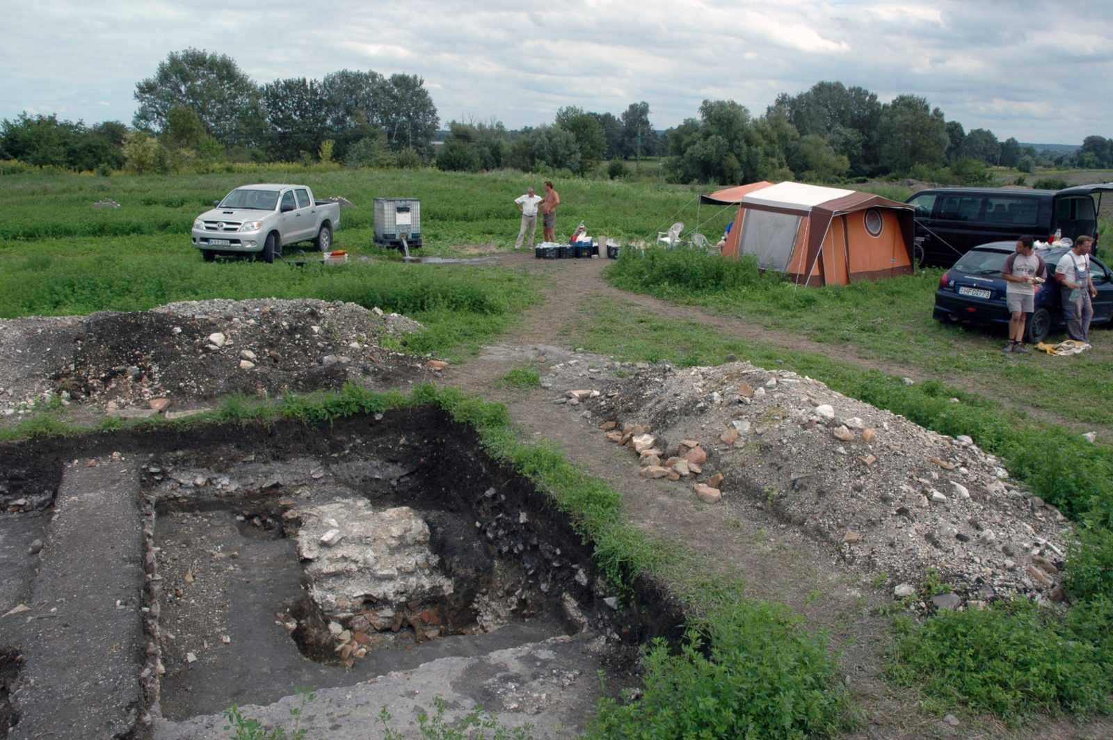
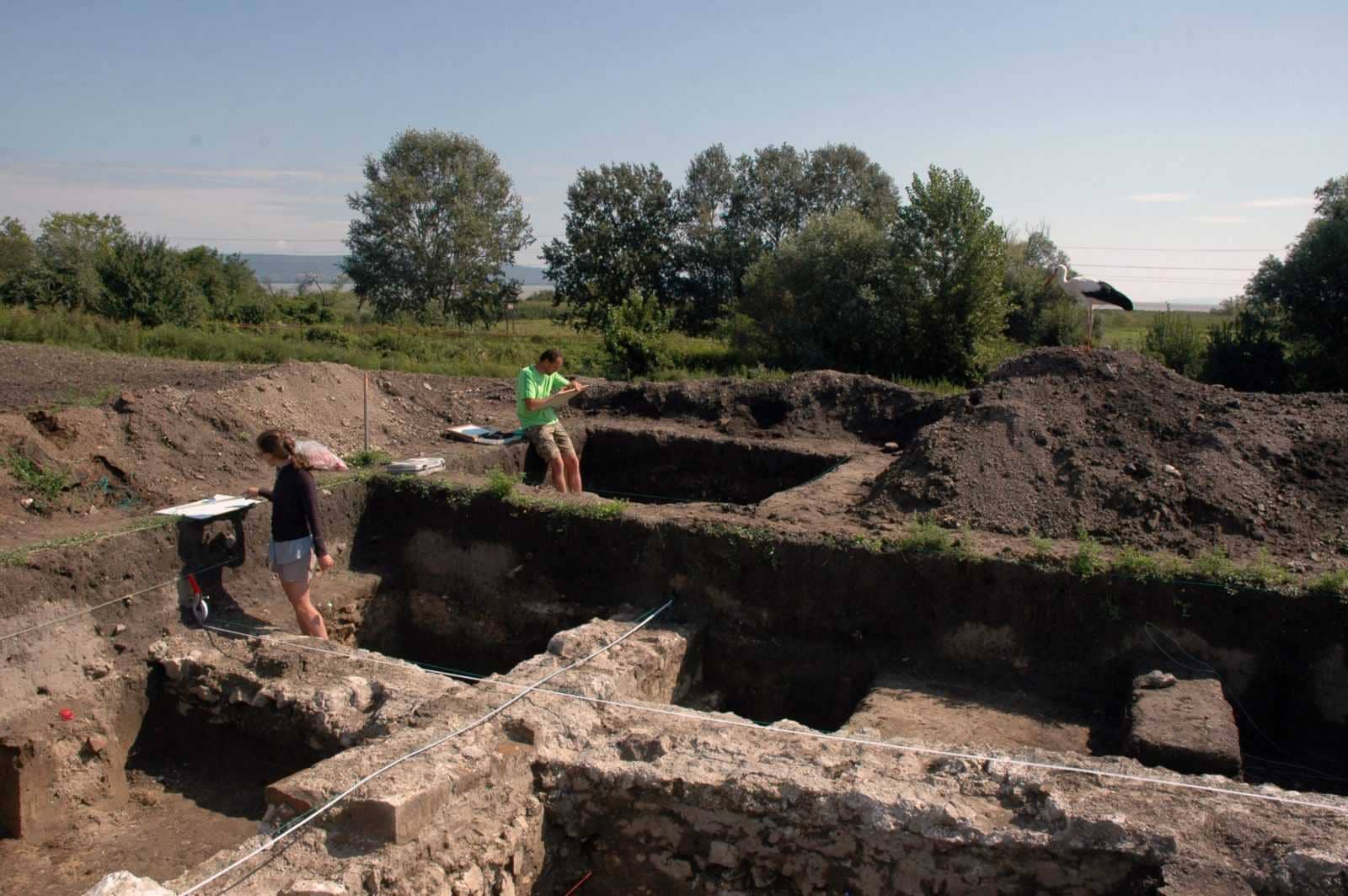
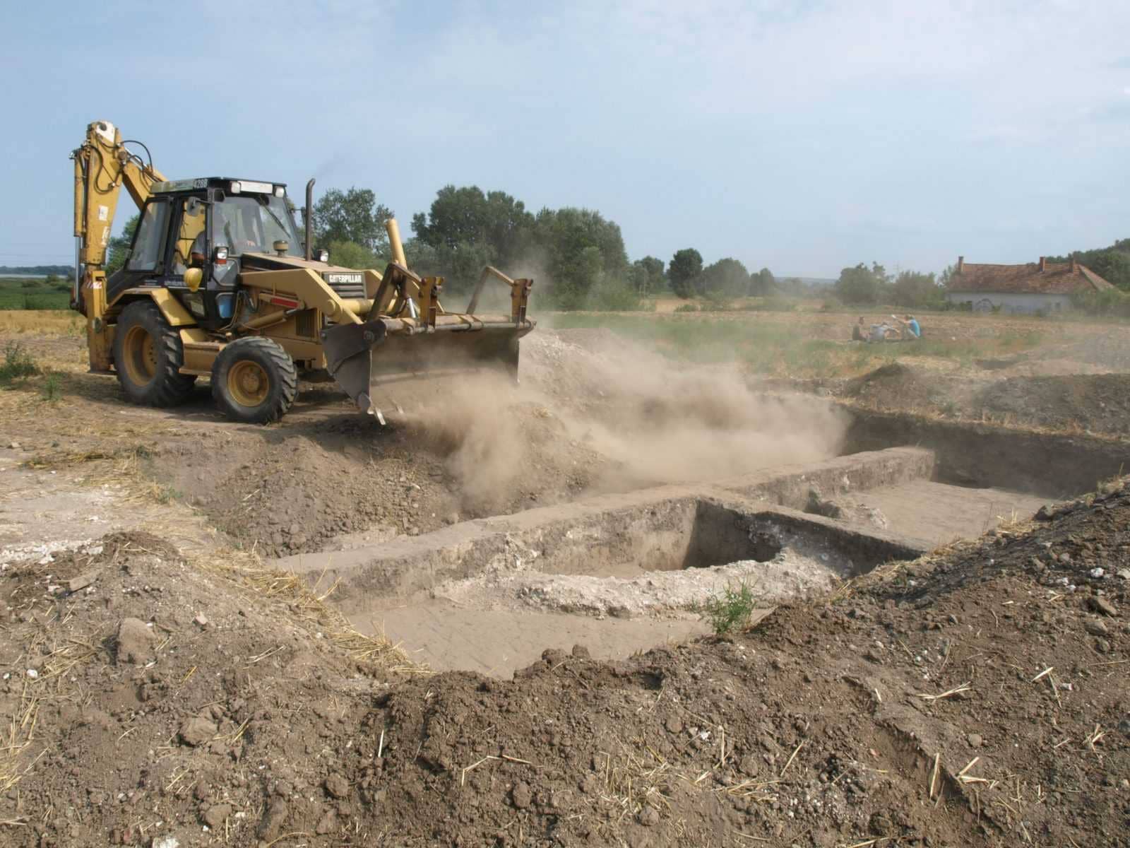
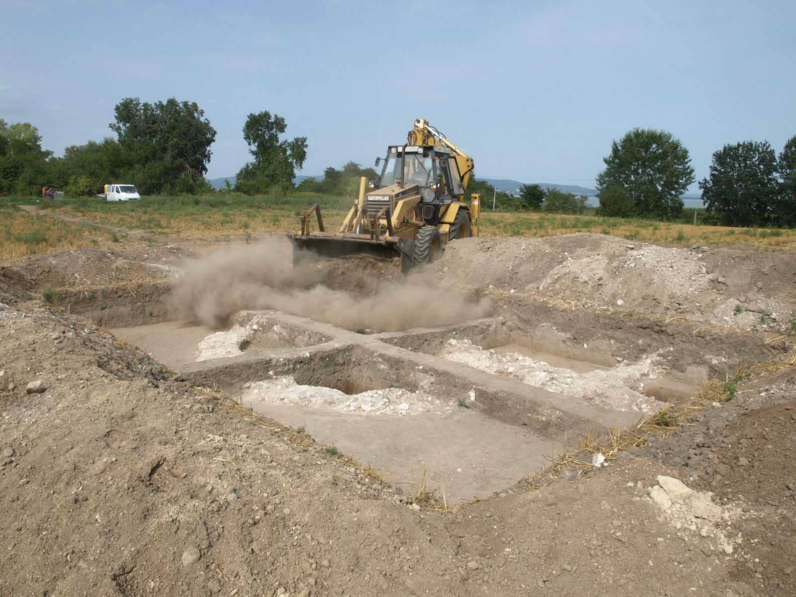
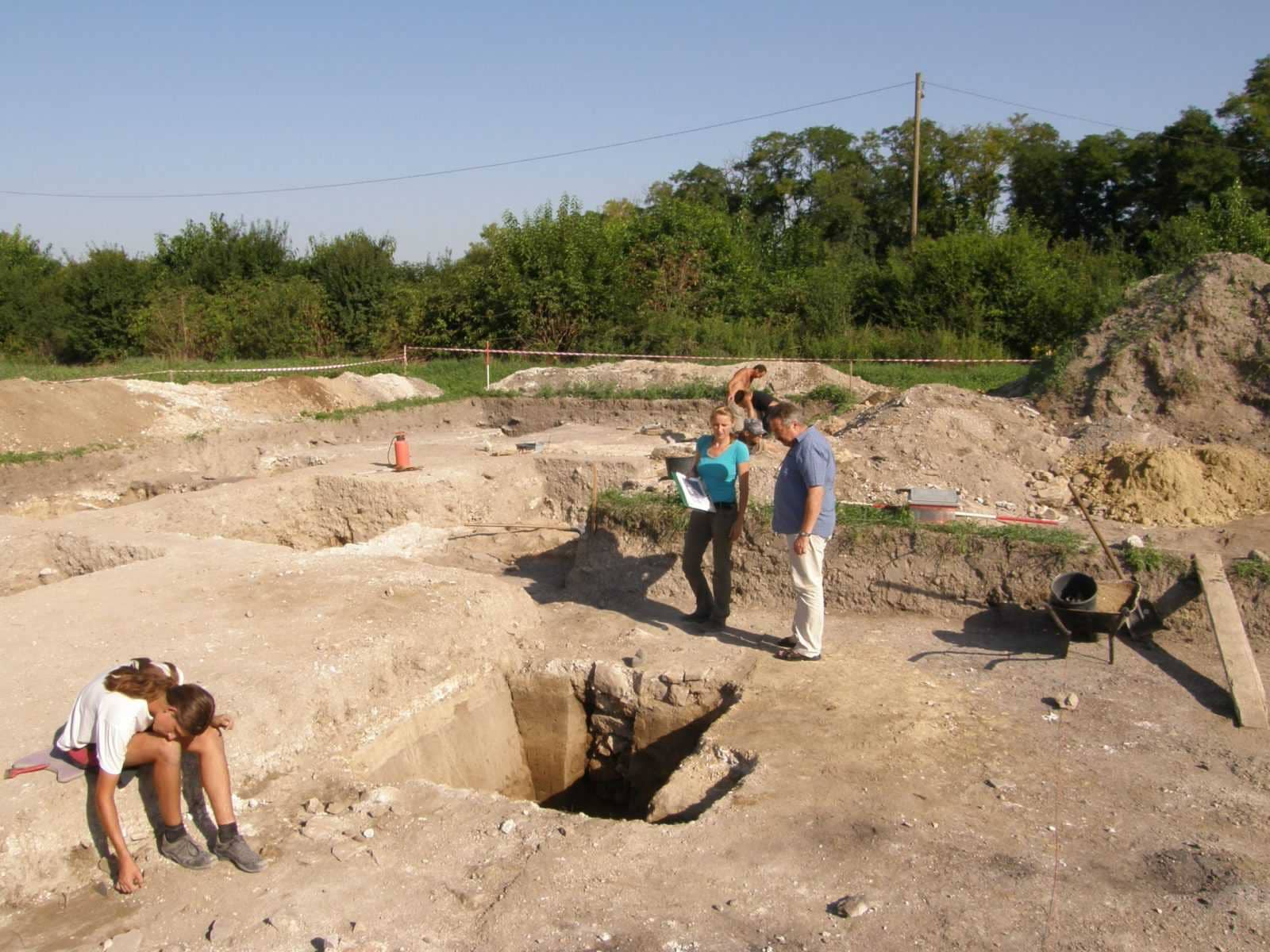
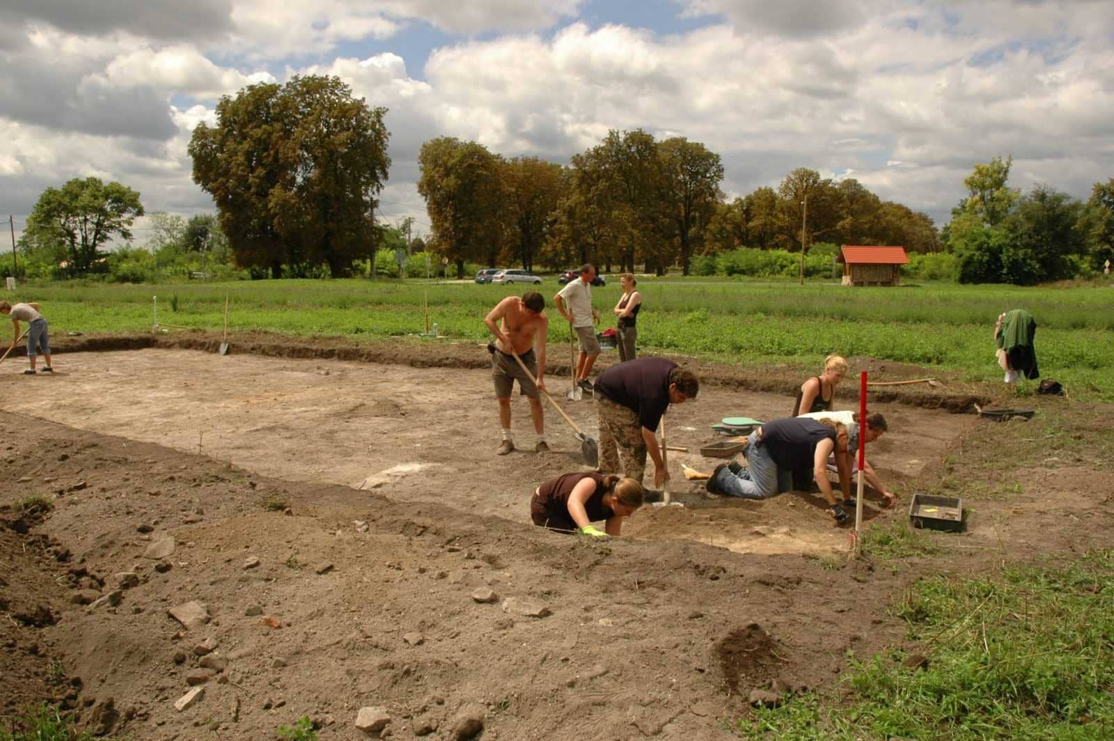
A 2020-as évi feltárás a fenékpusztai késő római erőd délnyugati felében eddig csak geofizikai felmérések alapján ismert épületekre koncentrált.
Az ásatás folyamán az említett geofizikai felmérésekből kiindulva két új épület nyomait kutattuk, amivel 31-re nőtt az eddig a fenékpusztai castrum területéről (ásatásokból) ismert épületek száma.
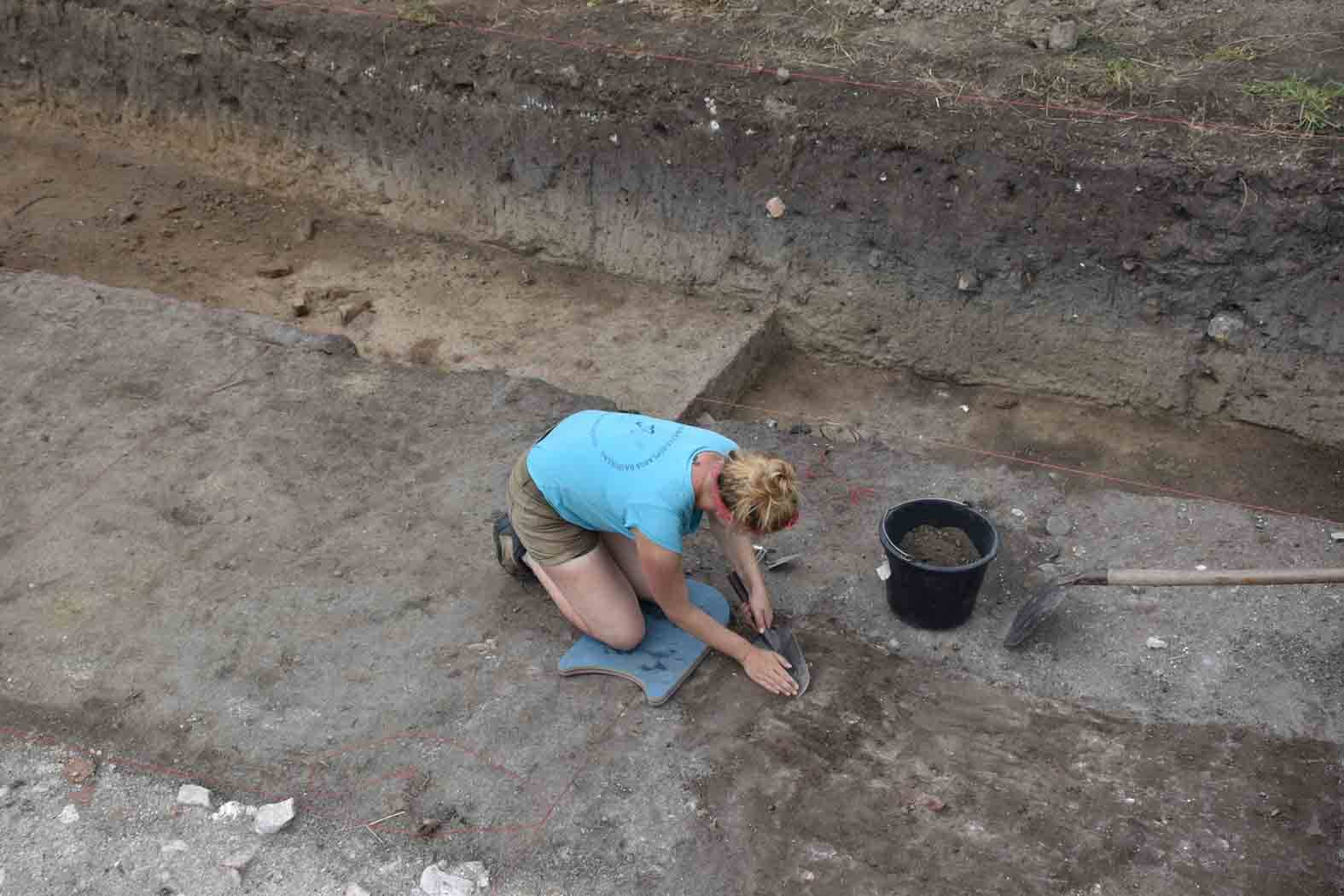
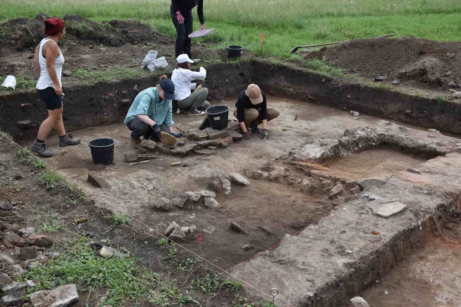
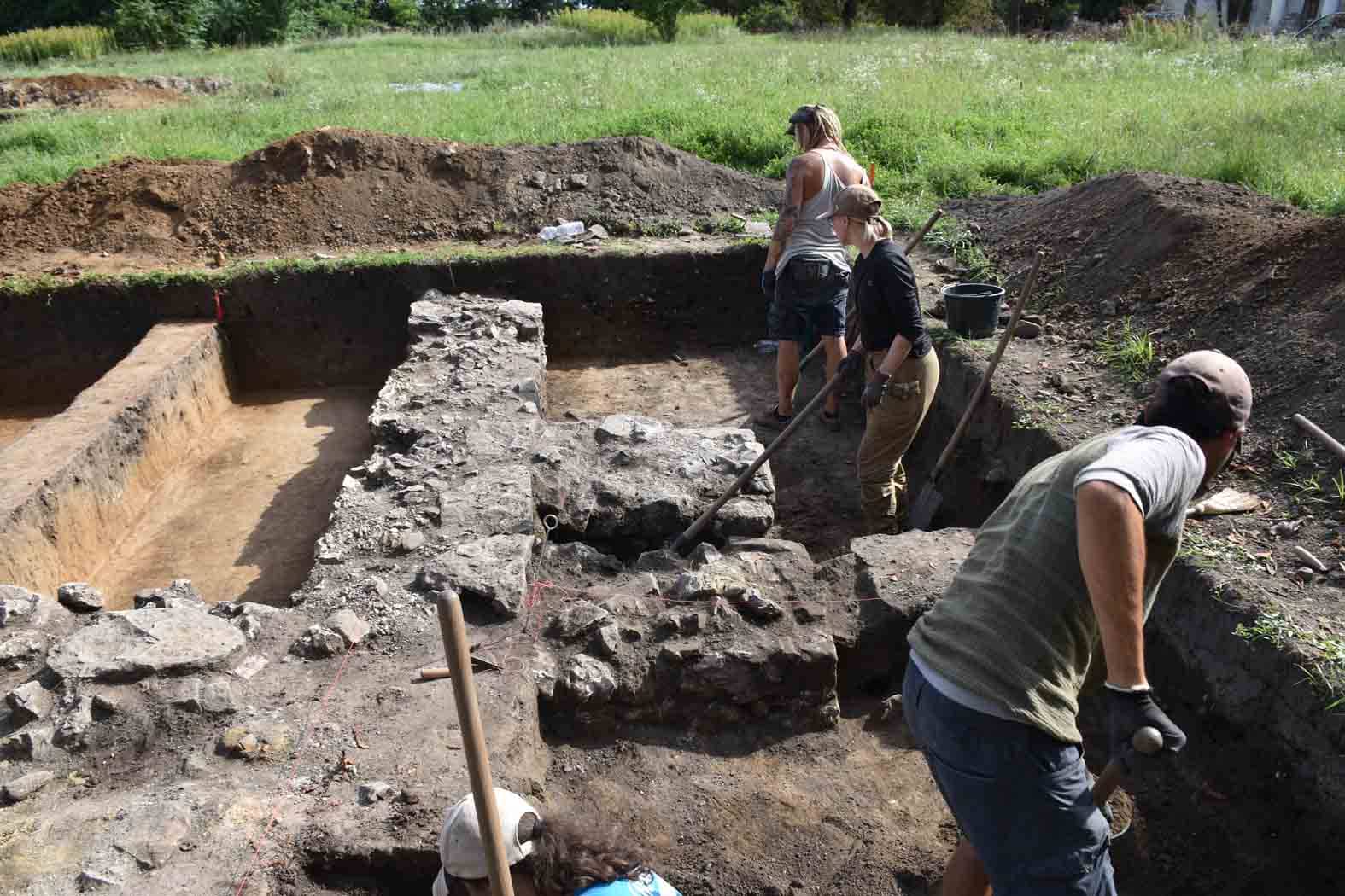
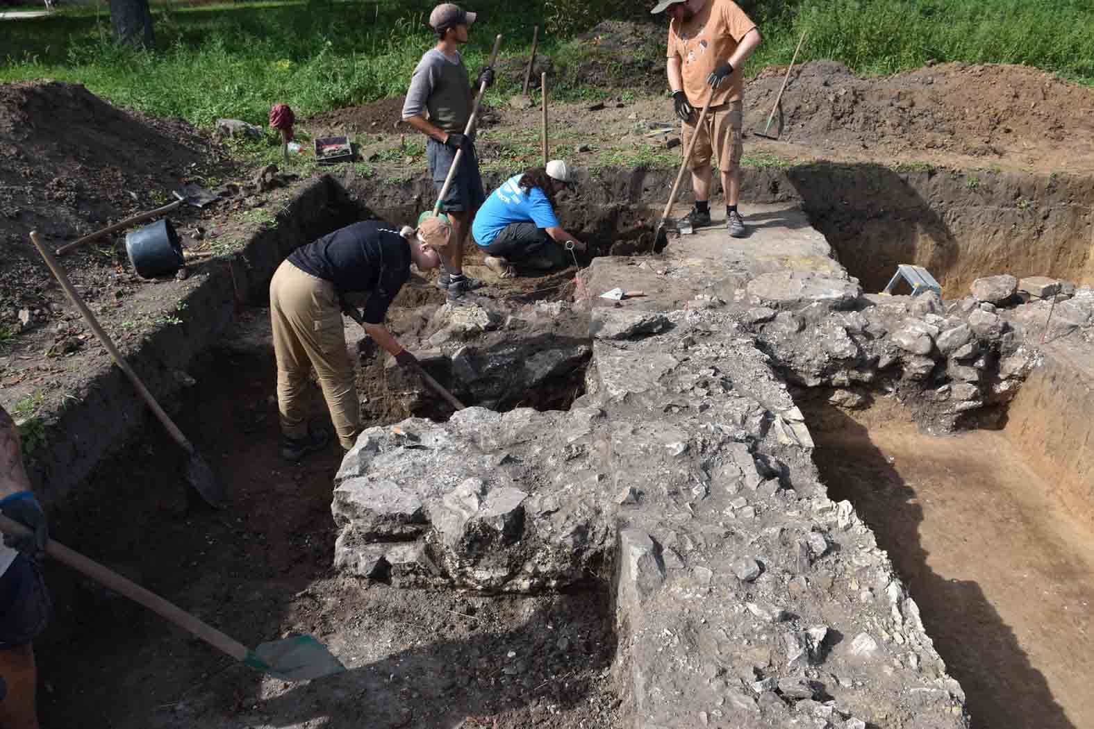
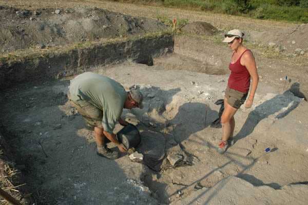
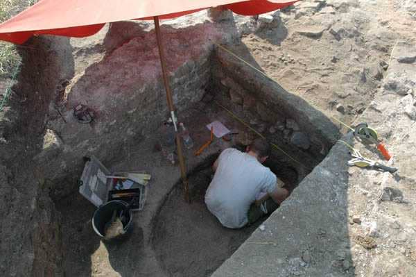
A 30-as épület egy U-alakú villa épület. Két szelvényben a massziv (közel 1 m széles) falalapozások nagyon magasan, alig 30-40 cm a humusz réteg alatt jelentkeztek, nagyon jó megtartásúak, de sajnos padlószinteket már nem találtunk. Az épület déli zárófalának csak a –feltehetően már a római korban – kiszedett nyomát tudtuk dokumentálni, padlószint itt sem jelentkezett.
A 31-es épület a nyugati erődfallal parhuzamosan fekszik, közel 50 m hosszú, alaprajza alapján gazdasági célokra használták (magazin). A falalapozások megtartása jó, de a falazás technikája más mint a 30-as épületnél. A nagy és kis terméskövekböl álló falat egy anyagos-habarcsos kötésben figyelhettük. A szelvényekben 4.-5 századi leletek domináltak, az épületek ebböl kifolyólag feltehetően az erőd használatával egyidőben épültek.
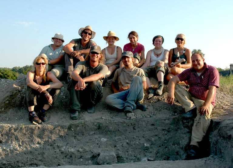
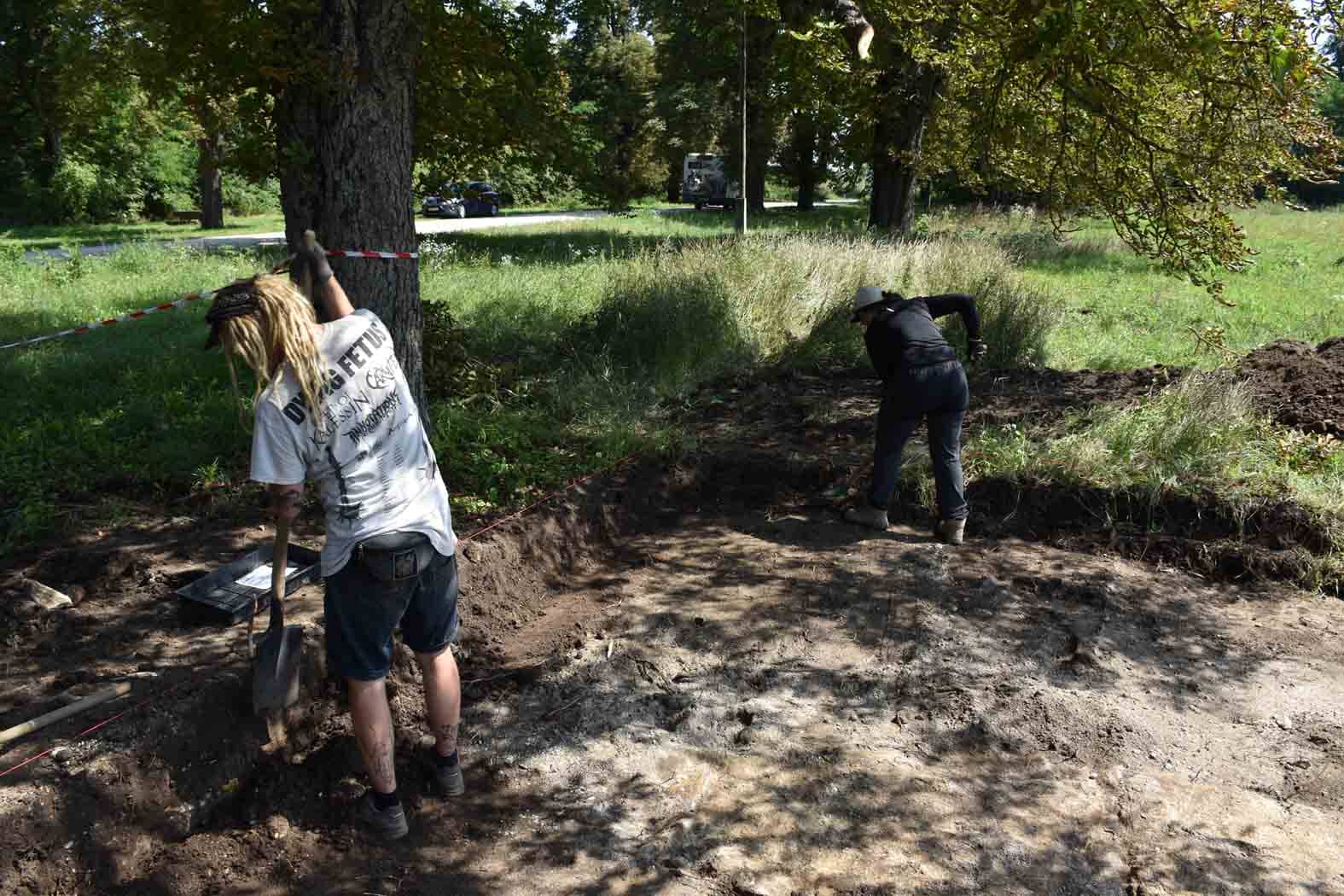
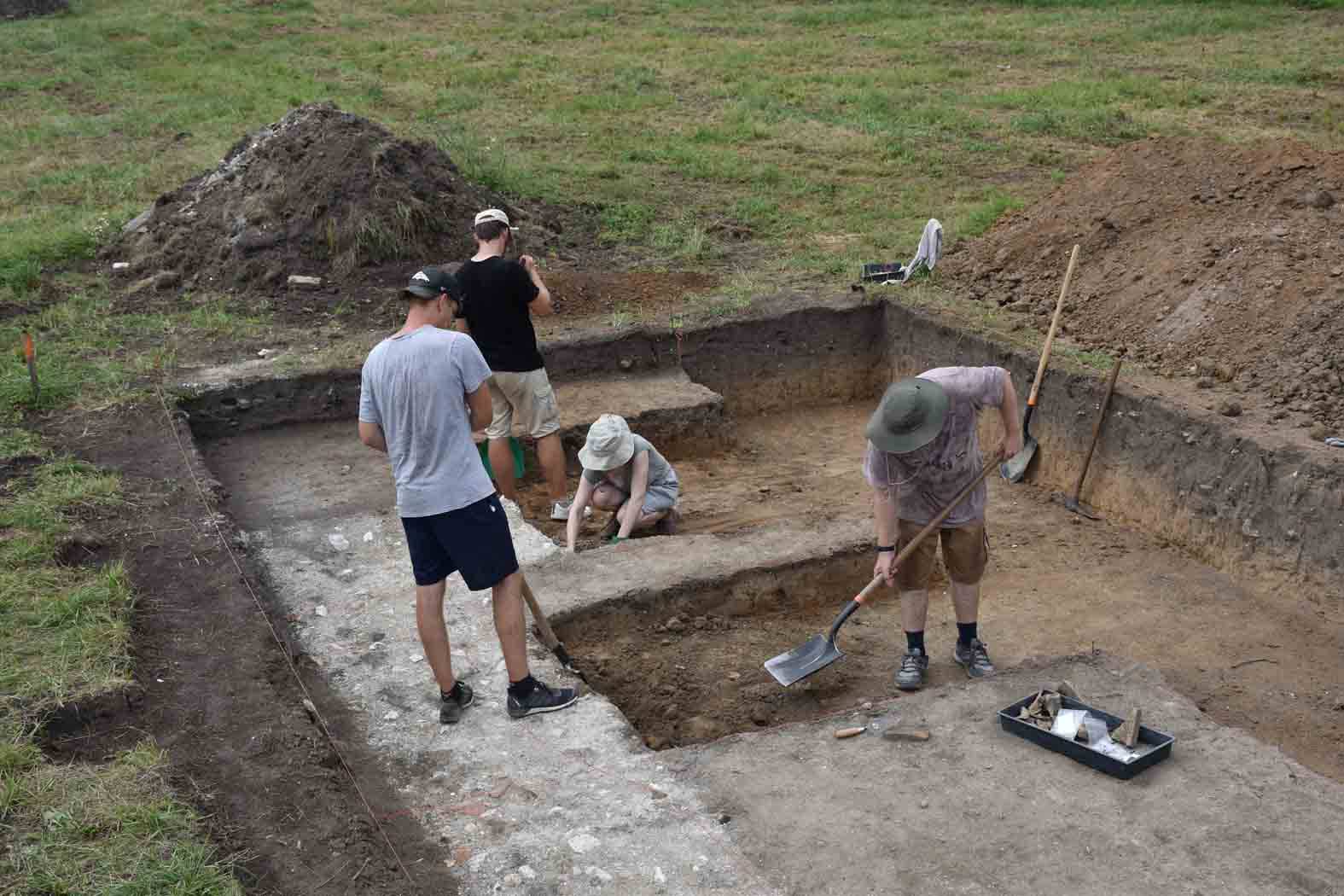
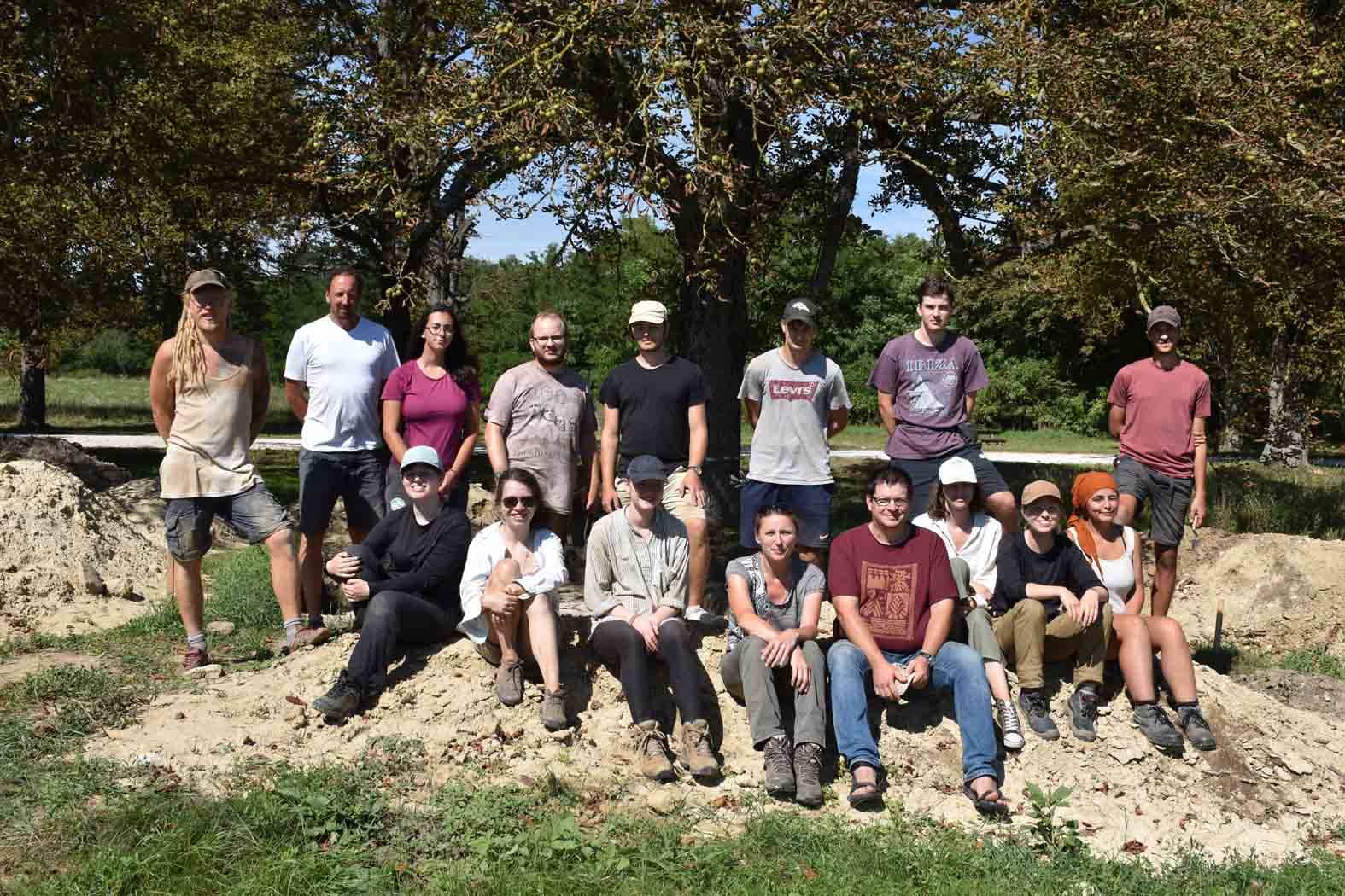
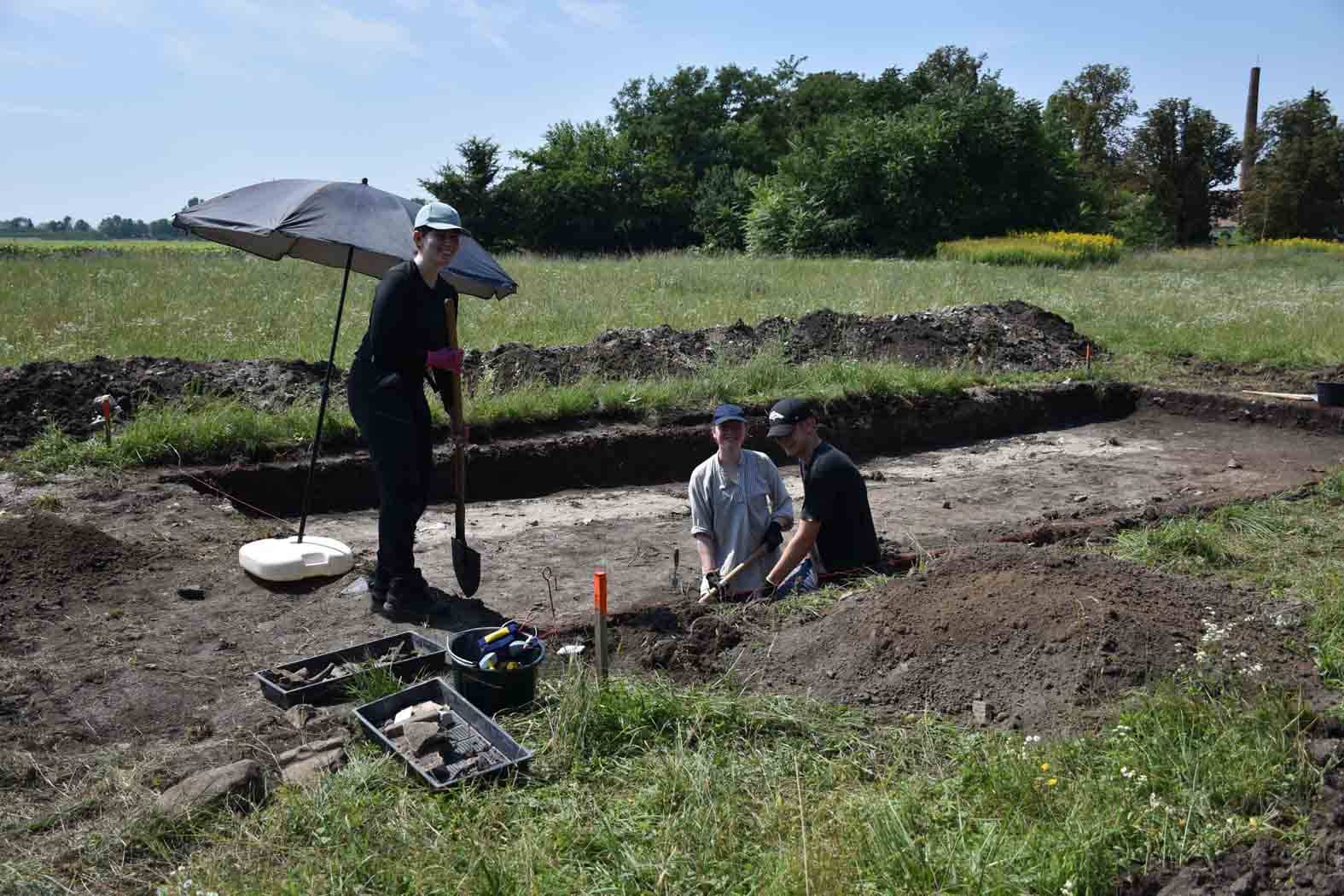
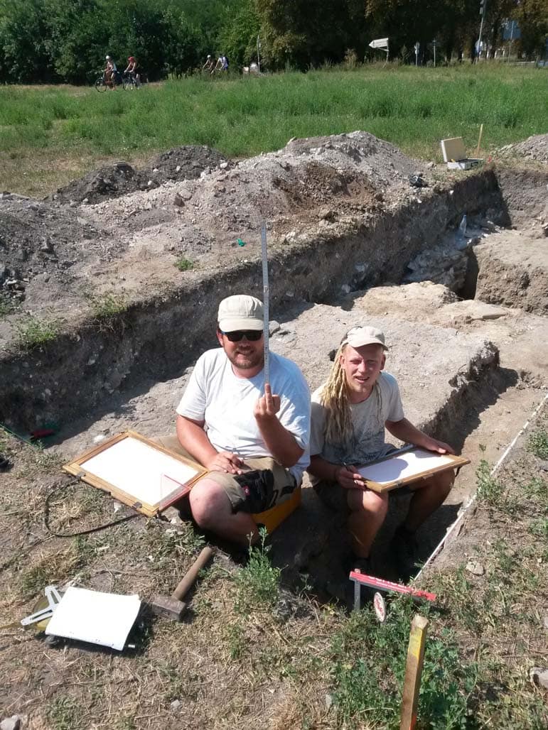
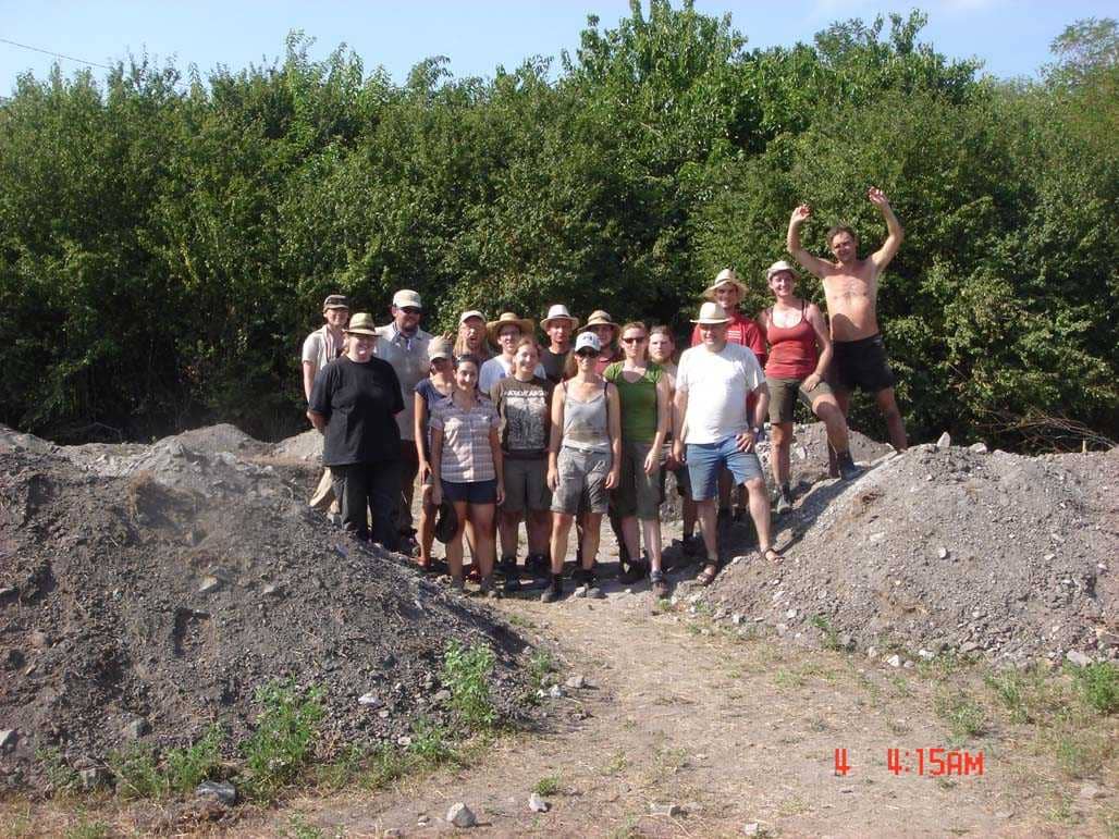
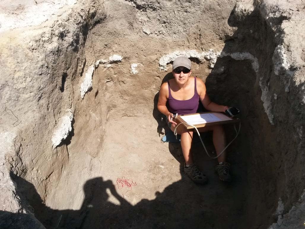
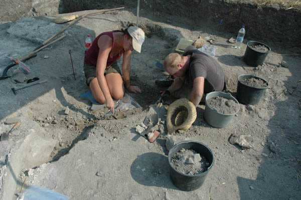
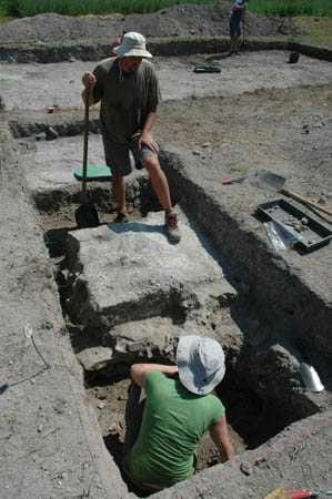
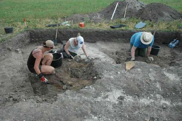
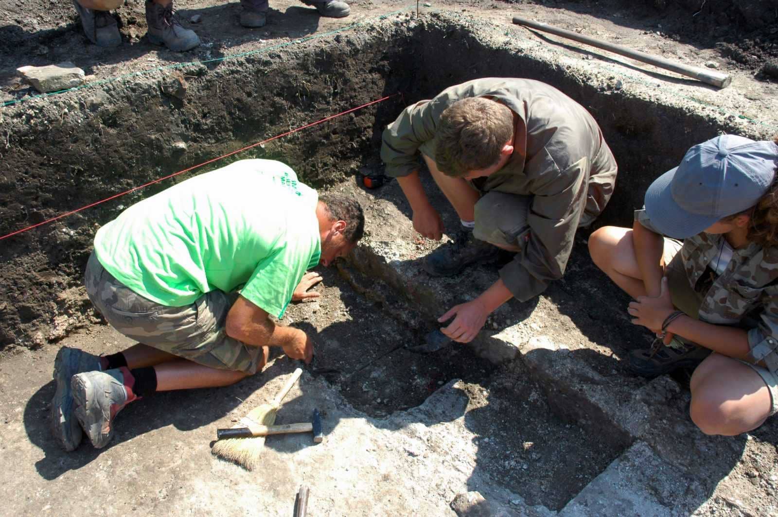
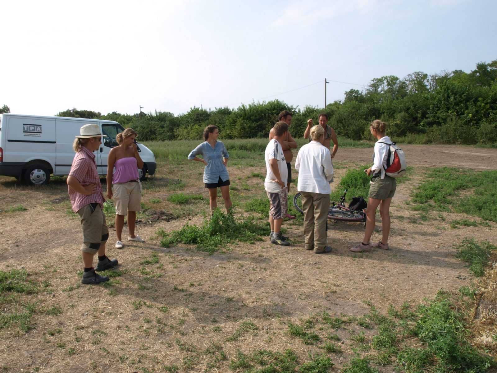
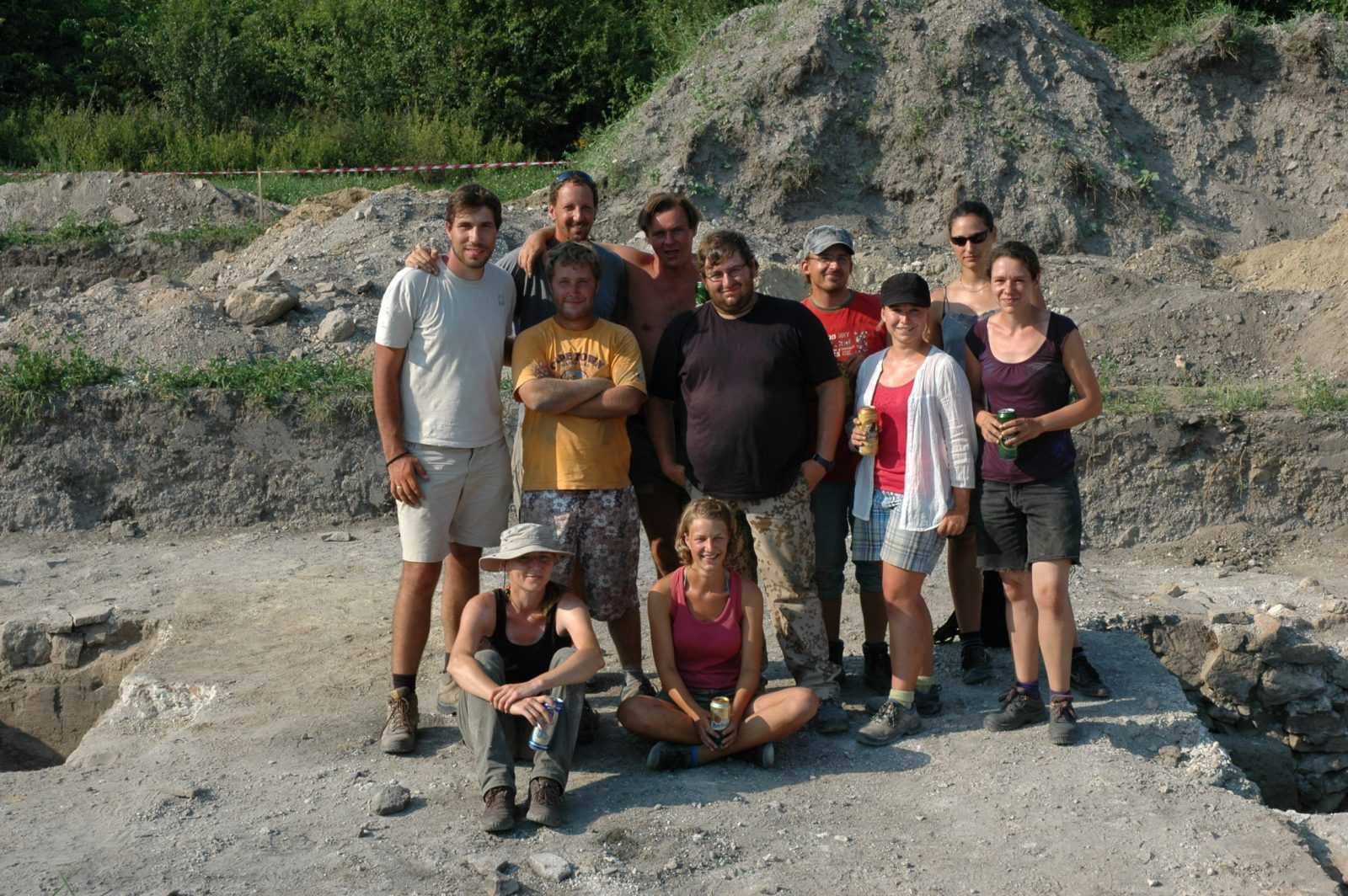
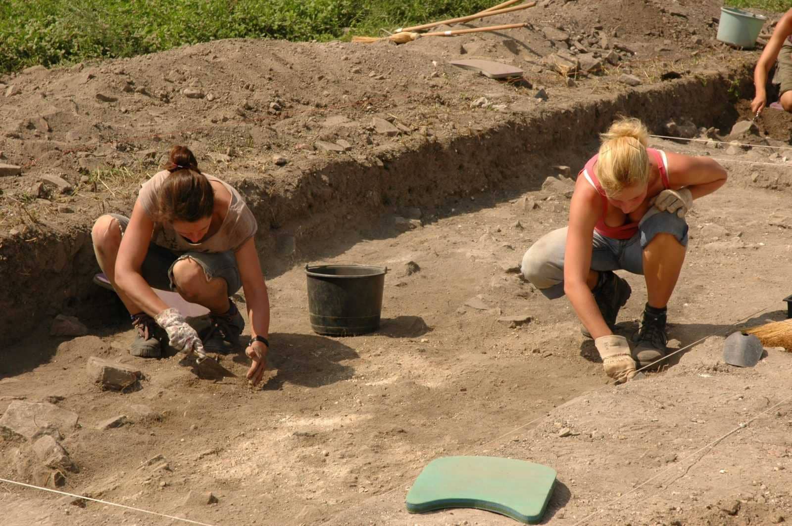
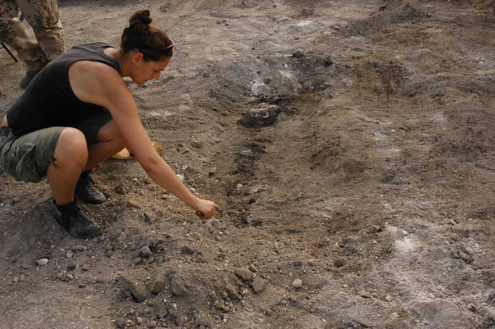
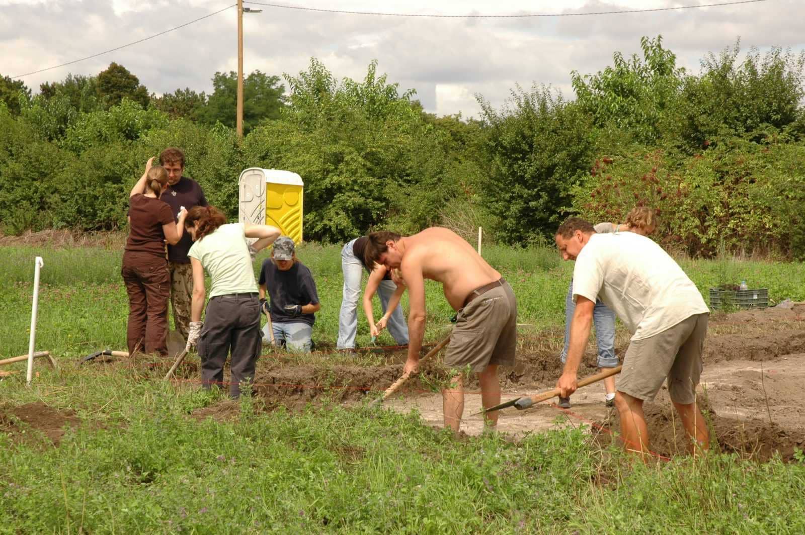
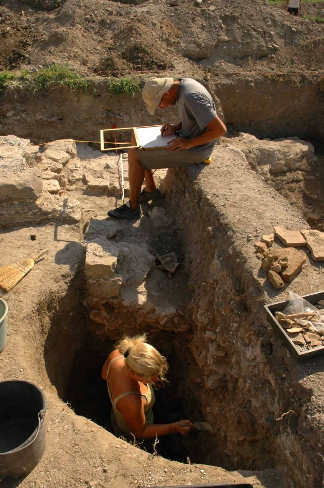
Az ásatáson német (berlini és lipcsei egyetem) és magyar (ELTE, JPE, SZTE) egyetemisták vettek részt. Egy nyílt nap keretében a Fenékpuszta után érdeklődők betekintést nyerhettek a régészeti terepi munka titkaiba.
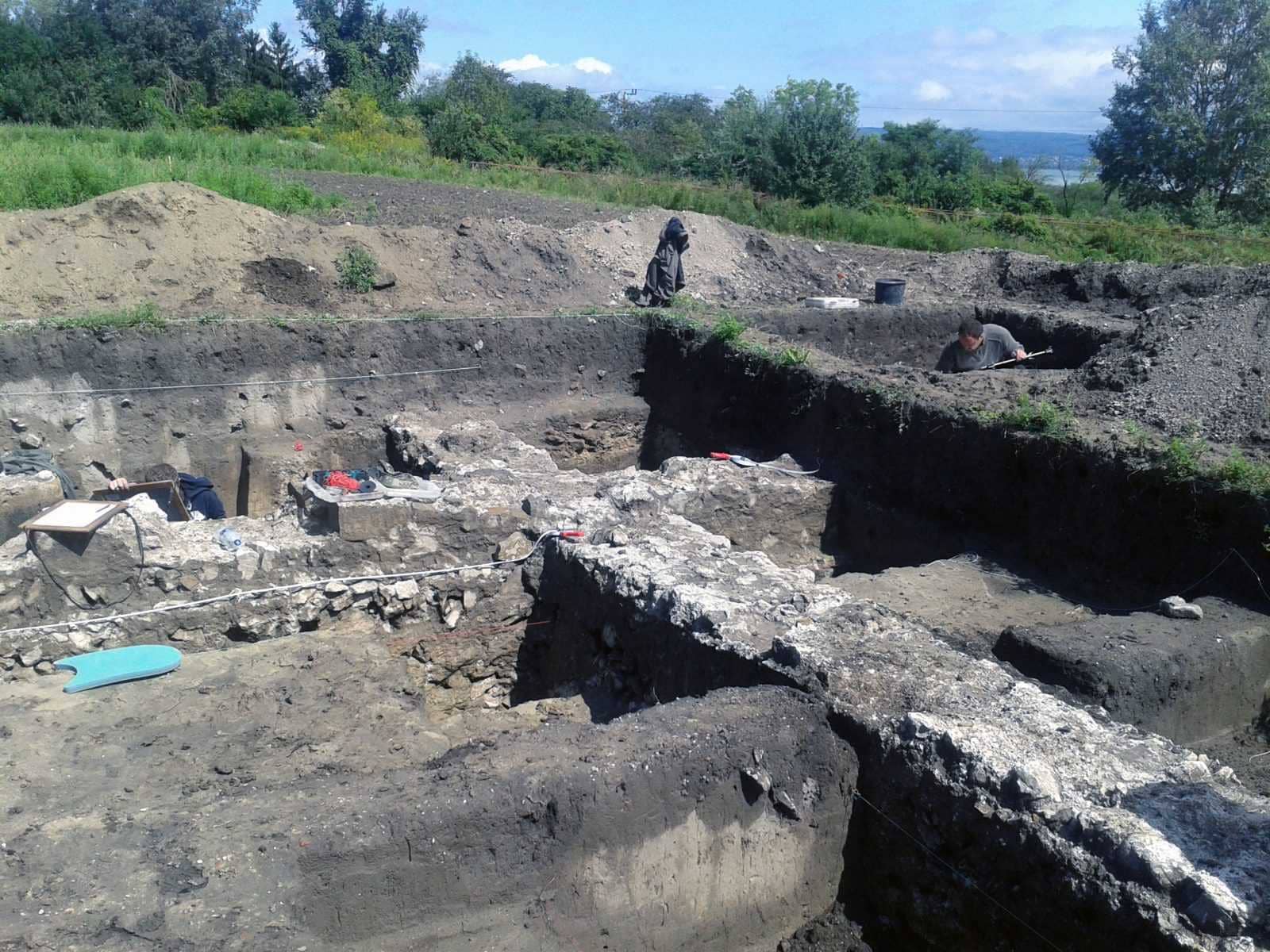
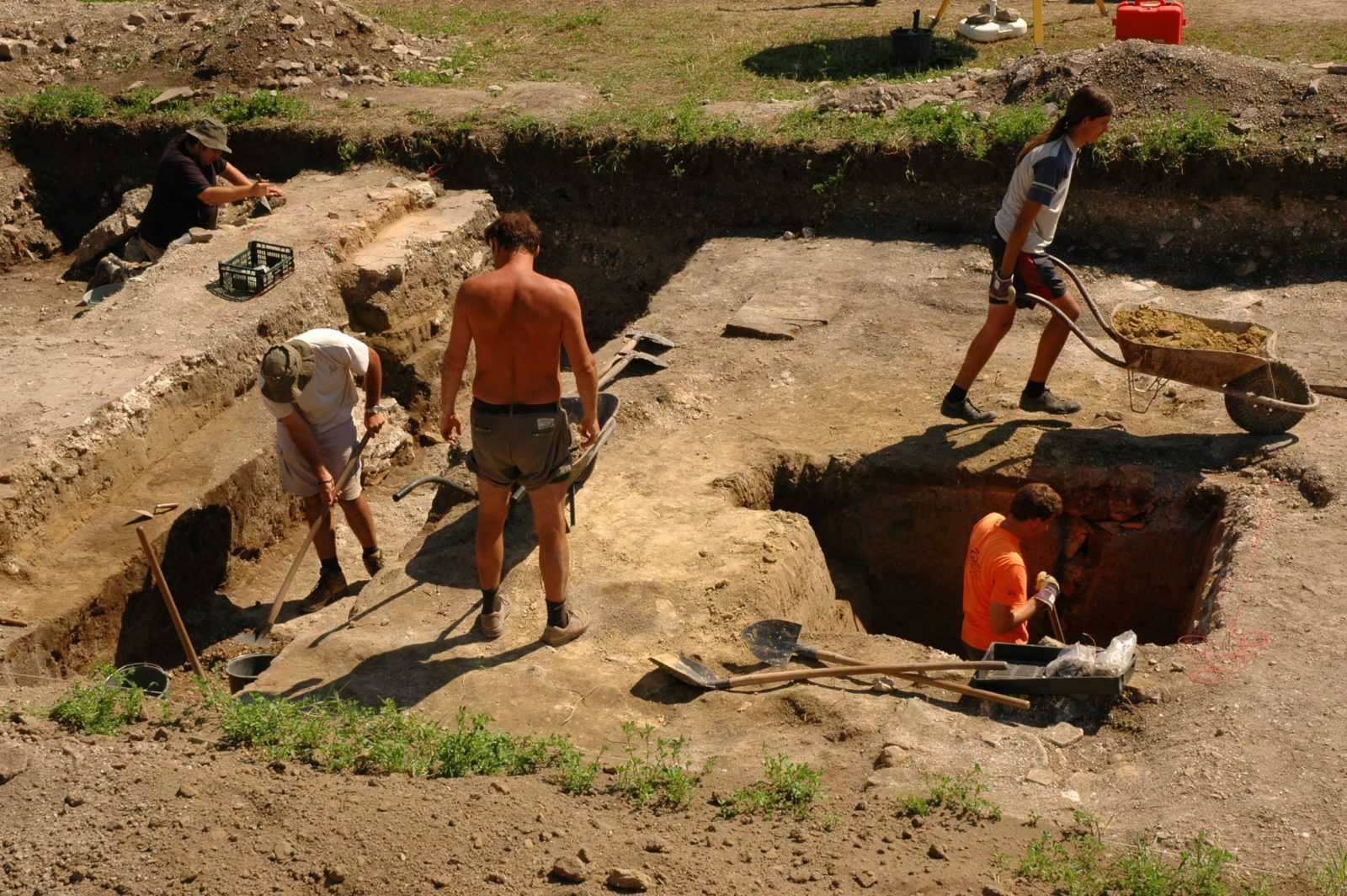
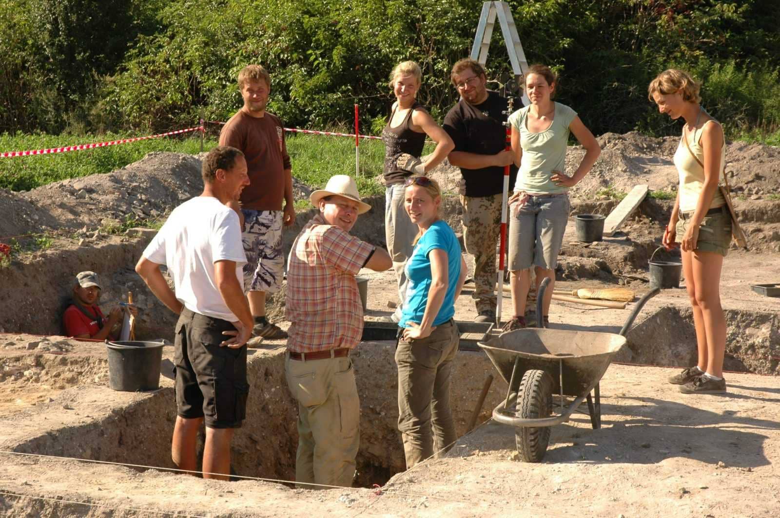
Excavation 24. 07. 2017 – 18. 08. 2017
Excavation leaders: Bálint Havasi (BM), dr. Orsolya Heinrich-Tamáska (GWZO), dr. Roland Prien (Ruprecht-Karls-Universität)
Excavation funded by: Ruprecht-Karls-Universität Heidelberg, National Cultural Fund (Nemzeti Kulturális Alap), GWZO Leipzig
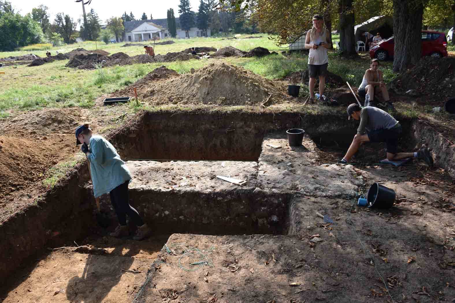
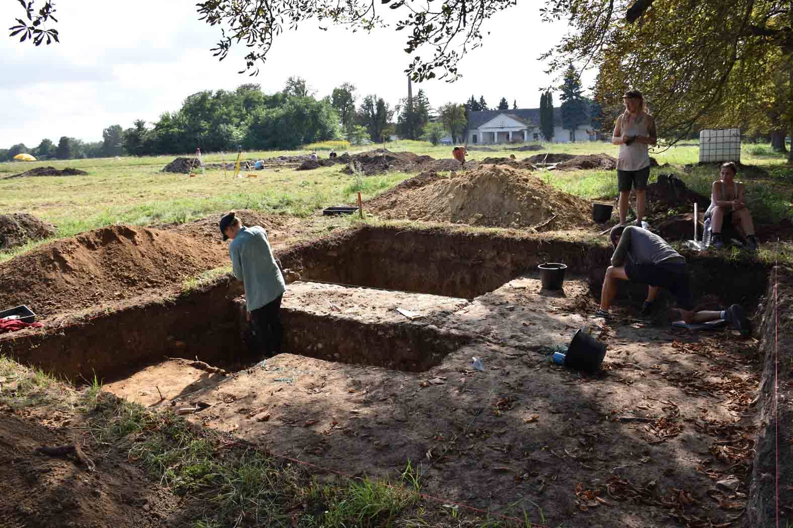
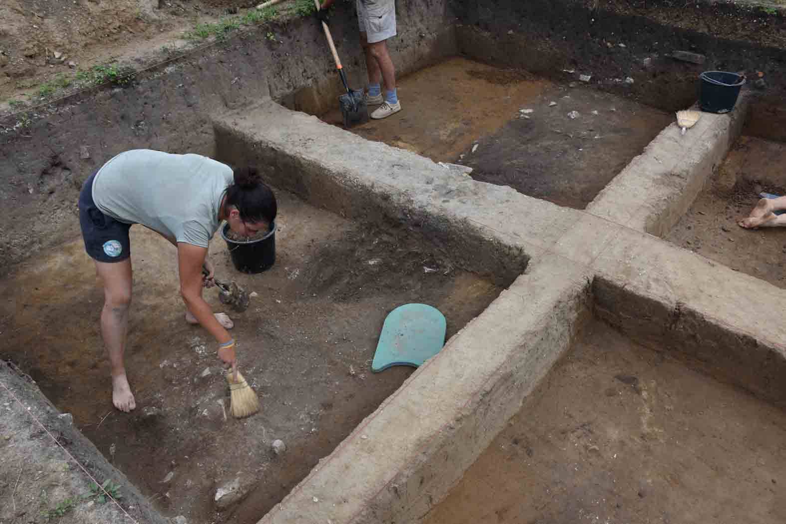
The excavation of 2017 was carried out in German-Hungarian cooperation, as a continuation of the research conducted since 2009, in the southeastern part of the late Roman fortress of Fenékpuszta, concentrated on the so-called Building 25.
This building is of decisive importance both in the research of the traces before building the fortification, and in the question of the use of the area during the migration period. The excavations so far indicate a number of construction phases which we try to separate and reconstruct with a continuous work. For example, we try to find out when it was built and how long the building was in use, because the material of the cemetery in Fenékpuszta well proves the survival of the Late Antiquity (5 th century – 7 th century). The discovered finds such as the pail-rim mount decorated with mask, or the Byzantine plumb seal, suggest 6th-century connections to the Meroving world of the West and the Byzantine Empire. The excavation – like every year – was attended by German (University of Heidelberg and Leipzig) and Hungarian (ELTE, Budapest) students. An open day was organized in 2017, where all interested in archaeology and Fenékpuszta had the opportunity to see field work. The results of the excavations will be presented at the Balaton Museum in September 2019.

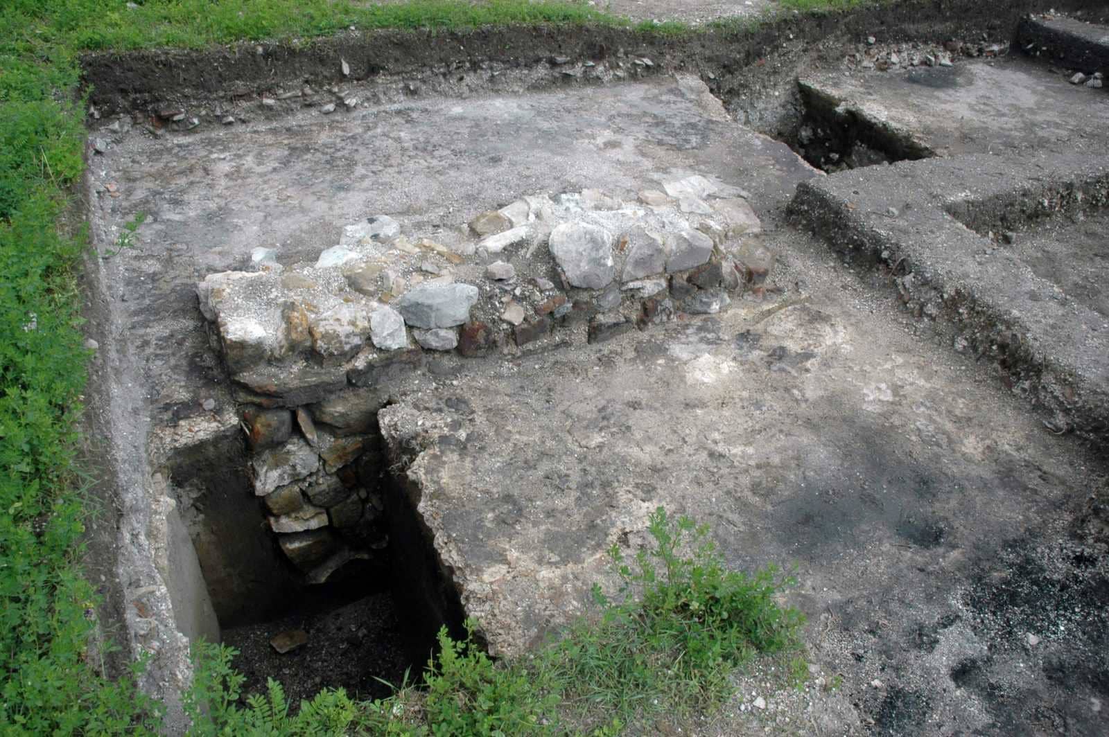
Excavation 03. 08. 2015 – 28. 08. 2015
Excavation leaders: Péter Straub (ZMMI), dr. Orsolya Heinrich-Tamáska (GWZO), dr. Roland Prien (Ruprecht-Karls-Universität)
Excavation funded by: Ruprecht-Karls-Universität Heidelberg, National Cultural Fund (Nemzeti Kulturális Alap)
In 2015, the German-Hungarian excavation focused on three buildings in the south-eastern half of the late Roman fortress, continuing the research since 2009.
In 1920, Kuzsinzsky published the ground-plans of the buildings. According to the contemporaneous methodological standards, Árpád Csák concentrated on exploring the stone walls and foundations. Narrow probe trenches served to reconstruct the ground-plan of the buildings, but he could not provide data for building phases. A Hungarian-German research project commenced in 2006, and first several preliminary geophysical surveys were carried out, mainly to verify the sites of former excavations, as well as tracks of walls and ground-plans of buildings. As a result, we proved that the ground-plan reconstruction by Csák was partly at fault, because in the case of Building C, actually there were two buildings. Secondly, we ascertained that several building phases occurred, whose traces the previous excavations failed to document (Building A). Thirdly, newer building elements were localized (Building 4).

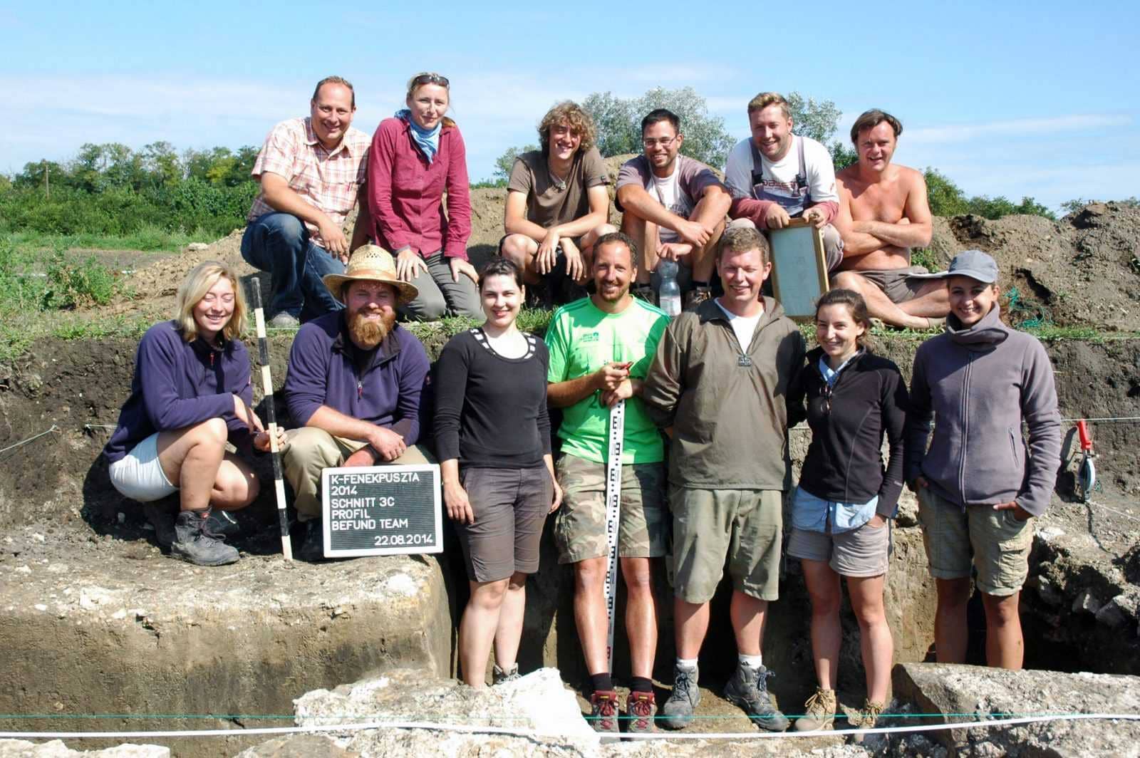
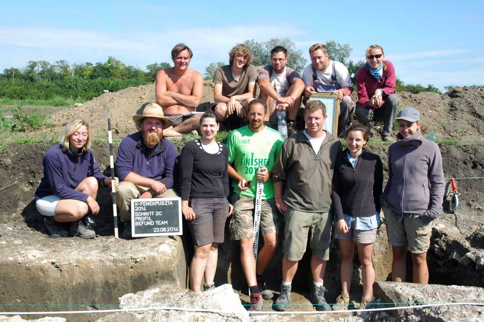
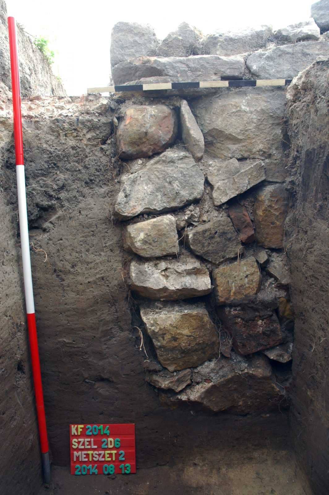
Excavation 28. 07. 2014 – 26. 08. 2014
Excavation leaders: Péter Straub (ZMMI), dr. Orsolya Heinrich-Tamáska (GWZO), dr. Roland Prien (Ruprecht-Karls-Universität)
Excavation funded by: Local Government of Zala County (Zala Megye Önkormányzata), National Cultural Fund (Nemzeti Kulturális Alap)
In 2014, the excavation focused on three buildings within the fortress, continuing work from 2009:
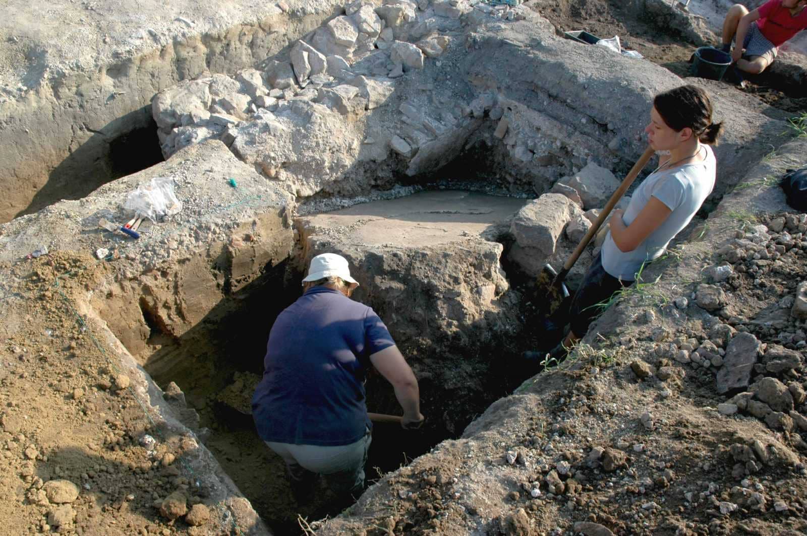
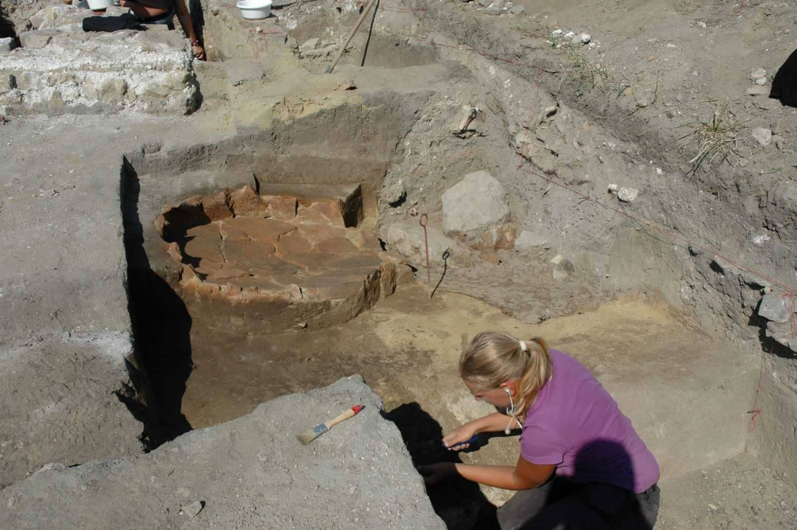
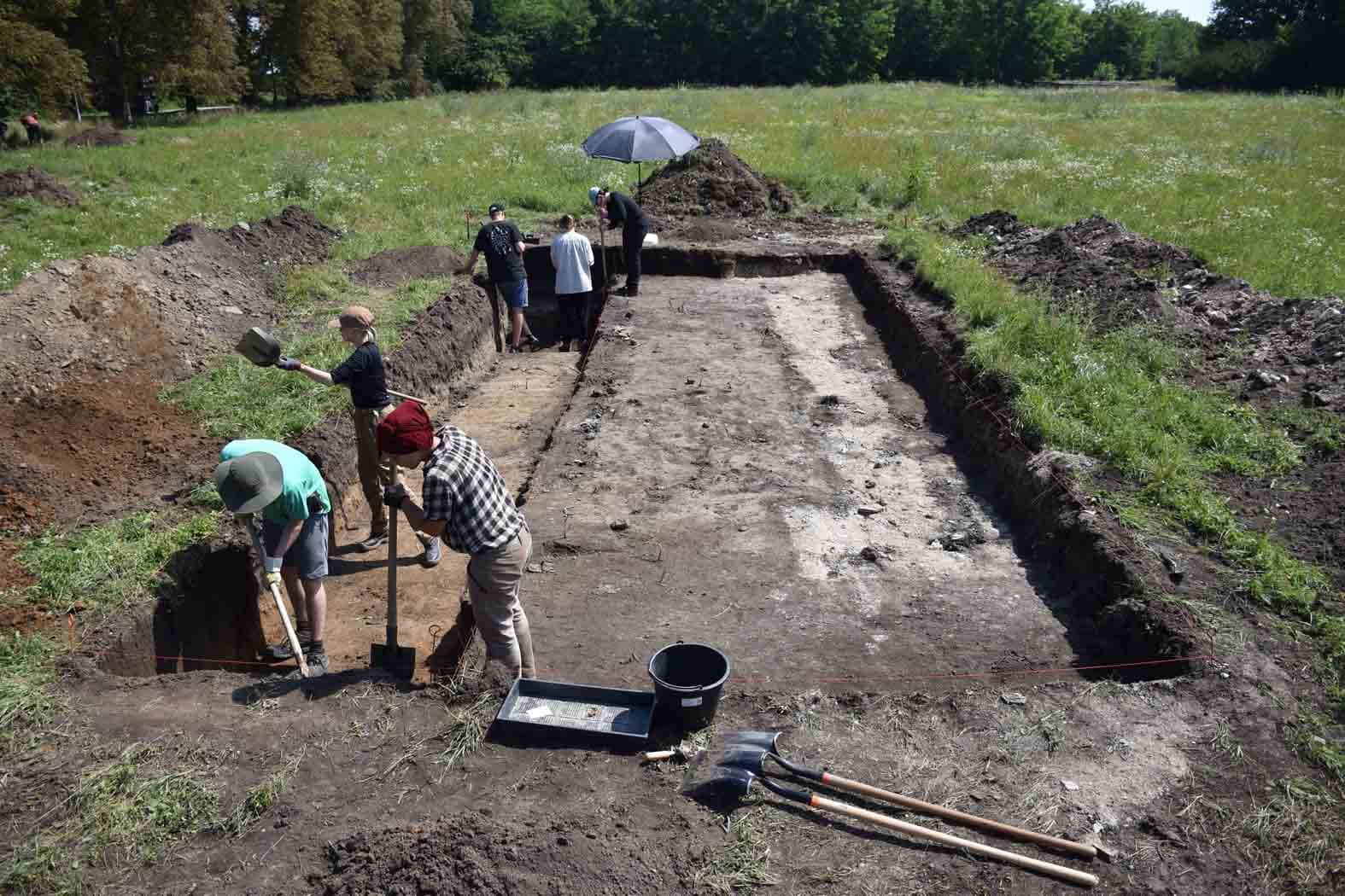
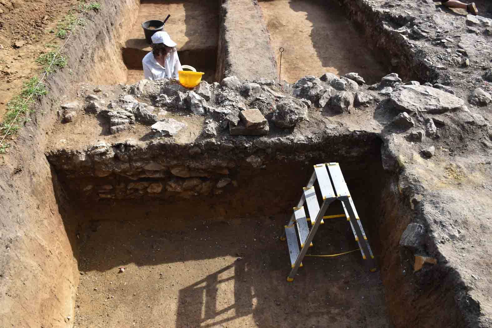
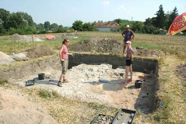
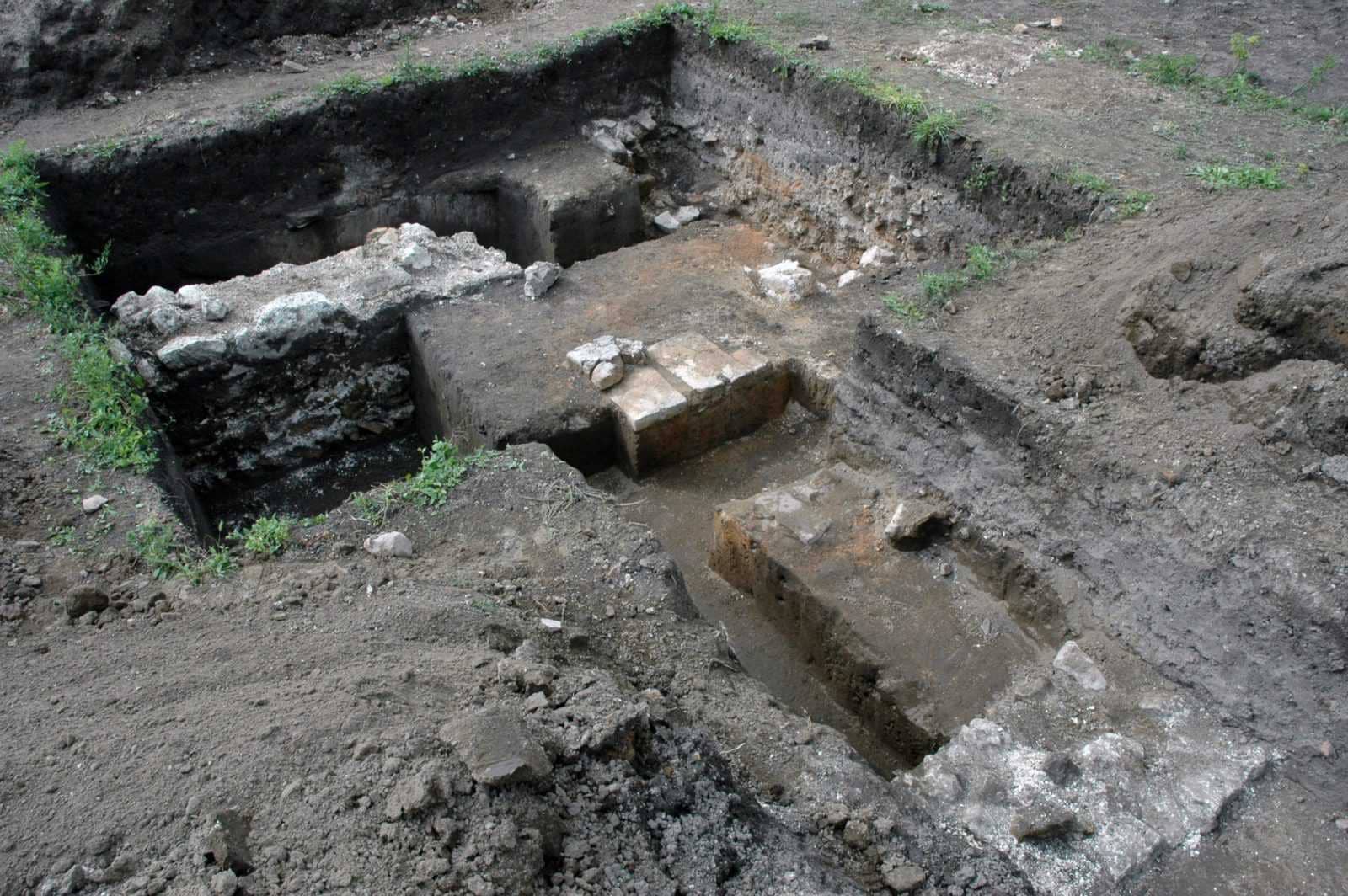
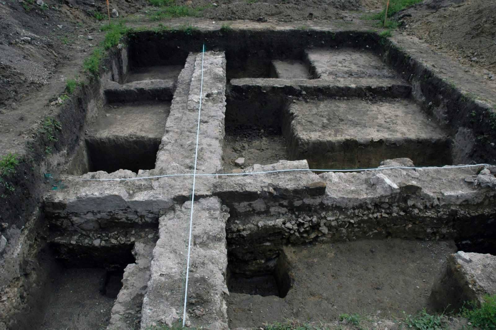
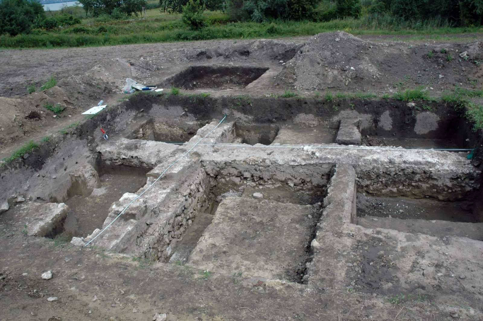
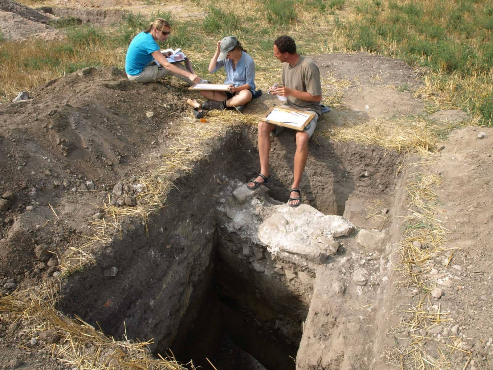
On the buildings A (Building 25), 27 and 24. The exploration of Building 25 carries a special meaning both in terms of pre-fortress construction and for the migration of the peoples of the time . In 2014, five excavation sections were opened on the site of the building, and several construction phases were distinguished from the 4th to the 7th centuries. Within the area, the ground plan of a post-Roman representative building (a palace?) could be reconstructed, but its exact dating requires further research. Outside Building 27, it was possible to document the remains of a preafurmium which was probably built at the same time as the buildig with apsis (gymnasium?). The examination of the bathhouse continued, whose latrine and one of its pools were discovered in 2009. In 2014, another basin with apses was opened, where the floor had been renewed twice.
Excavation 28. 07. 2013 – 26. 08. 2013
Excavation leaders: Péter Straub (ZMMI), dr. Orsolya Heinrich-Tamáska (GWZO), dr. Roland Prien (Ruprecht-Karls-Universität)
Excavation funded by: Local Government of Zala County (Zala Megye Önkormányzata), National Cultural Fund (Nemzeti Kulturális Alap)
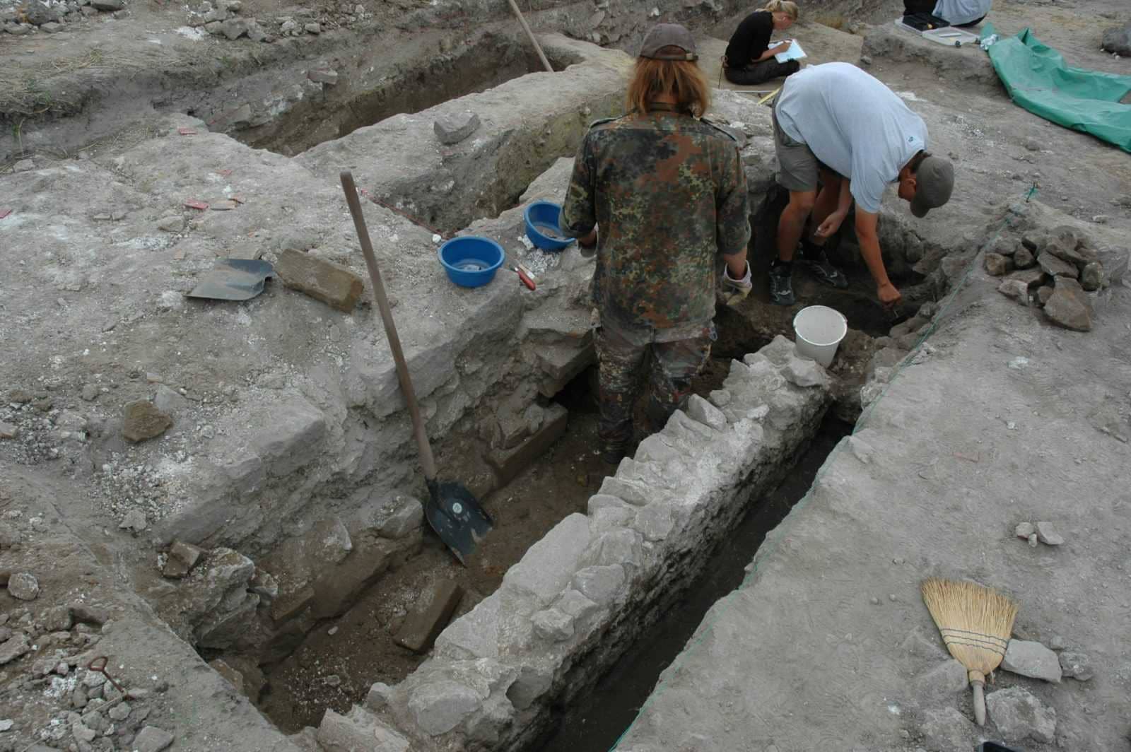
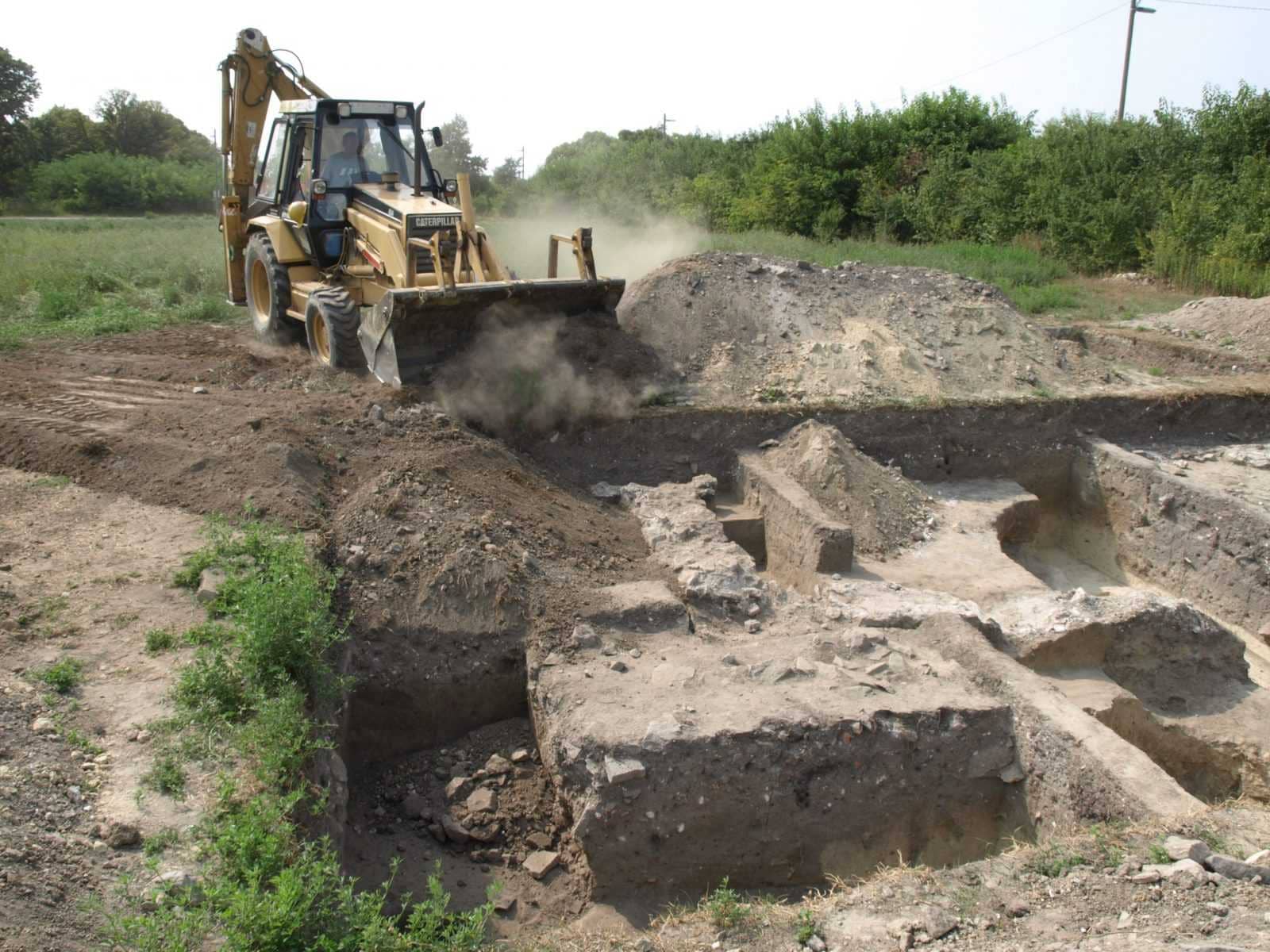
The excavation of 2013 focused on two buildings: Building A (25) and 27, which was probably a gymnasion.
The eastern part of Building A was explored. At this point, the terrain falls heavily in the direction of Lake Balaton, so stronger erosion traces were observed, floor horizons were largely missing. Only in the western part a screed floor came to light and a herausgenommes, N-S running, as well as a later, L-shaped wall foundation. East of this wall foundation large, filled with rubble pits were developed, from which mainly late Roman material comes. The layout of Building 27 is not based on excavation results, but was created solely by the vineyard works and has been extensively modified in recent years using aerial photographs and geomagnetic measurements. Floor horizons were not preserved here, but the sparse find material dates the findings in the 4th century. In the southern half of the building, outside the walls, remains of a praefurnium were discovered. Whether it was built at the same time as Building 27 could not be clarified in this campaign.
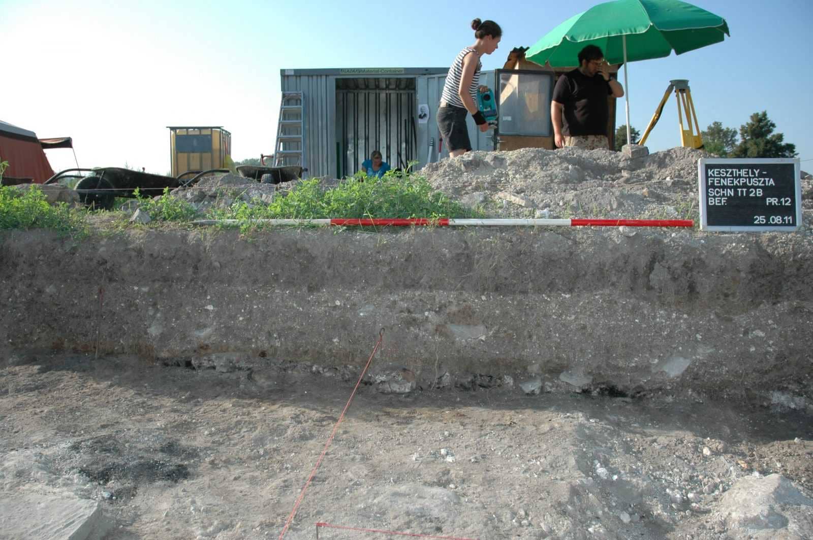
Excavation 01. 08. 2011 – 26. 08. 2011
Excavation leaders: Péter Straub (ZMMI), dr. Orsolya Heinrich-Tamáska (GWZO), dr. Roland Prien (Ruprecht-Karls-Universität)
Excavation funded by: Local Government of Zala County (Zala Megye Önkormányzata), National Cultural Fund (Nemzeti Kulturális Alap)
The authentication investigations took place in the area of Building A, known since the 19th century.
The layout of the building was created by Kuzsinszky in 1920 according to the excavation results of Árpád Csák. Árpád Csák focused on capturing the stone walls and foundations by trying to track them or using narrow search trenches. As a result, there is no information on whether there could be several construction phases.
As part of the German-Hungarian research project begun in 2006, geophysical measurements were carried out. Their main aim was to locate the exact location of the excavations and thus to check the course of the wall and the floor plans. Interesting results could be achieved: on the one hand, the floor plans of Csák were partly faulty, on the other hand, it can be assumed that there were several, previously unknown building periods.
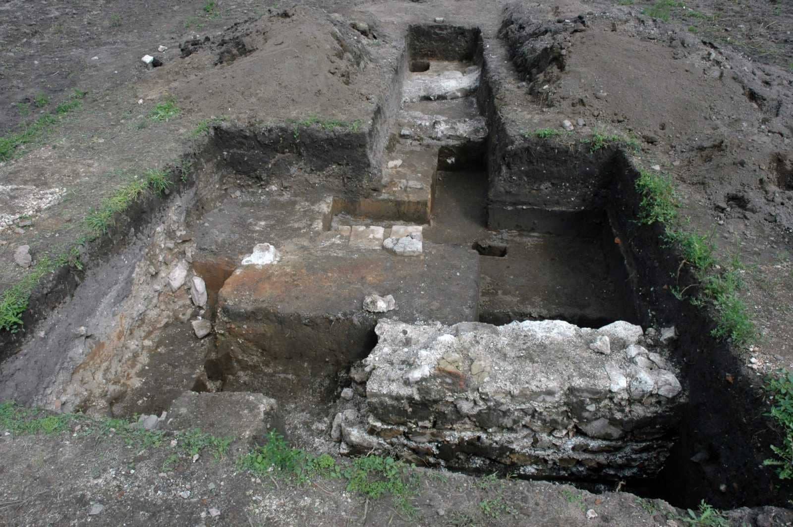
Building 25 has a major importance, both with regard to the study of pre-historic settlement, as well as with regard to the migration time further use of the fortress. The building is 3300 m2 and regarded as large in the Pannonian comparison; There are numerous theories about its function, floor plan and construction periods in research. There is agreement that this is a villa, but it remains questionable whether the building existed here before the erection of the fortress as villa rustica and, if so, what period is to be dated to this phase. In the northern half of the building, Csák’s floor plan and the geophysical measurements did not match at all, as several phases of construction were superimposed. Their traces could be documented in 2009. The excavations in 2011 clarified the western end of the apse found in 2009, as well as the western and southern wall developments following the 2009 area. The work provided important new insights into the remodeling and internal chronology of Building 25.
Excavation 29. 07. 2009 – 28. 08. 2009
Excavation leaders: Péter Straub (ZMMI), dr. Orsolya Heinrich-Tamáska (GWZO), dr. Roland Prien (Ruprecht-Karls-Universität)-Universität)
Excavation funded by: Local Government of Zala County (Zala Megye Önkormányzata), National Cultural Fund (Nemzeti Kulturális Alap)
The research aimed to provide authentication for previous excavations in the area of a late Roman fortress known since the 19th century.
In the early 1900s Árpád Csák did research here. His name is related to the so-called Buildings A, B and C, as well as the localization of the 1st Christian Basilica (Building 4). The floor plan of the buildings was published by Kuzsinzsky in 1920. According to the methodological requirements of that time, Árpád Csák focused on the exploration of stone walls and foundations. This narrow research reconstructed the floor plan of the buildings with trenches, but did not provide data on the construction phases.
In the framework of a Hungarian-German research program starting in 2006, we conducted several preliminary geophysical surveys in the target area. The purpose of these was primarily to clarify the location of earlier excavations and to determine the line of the walls and the floor plan of the buildings. In connection with the results, we pointed out that the reconstruction of the Csák floor plan is partly wrong, since building C is not one but two buildings. Secondly, it was found that there are several construction phases whose traces have not been documented by early excavations (Building A). Thirdly, new building elements were also localized (Building 4).
In the framework of the excavation in 2009, we conducted research in three areas:
We explored the eastern half of Building 4 and the porticus detected by geophysical surveys in front of it, as well as the north-south route leading east;
We also explored the floor plan of Building A (peristylum-villa), and below it a geophysical survey with an apical basilica building and several other construction phases;
Finally we clarified the so-called Building C. Two stone buildings can be detected on the site of Building C, and more recent data on its construction history and function were obtained.